What is recorded here
Thomas Street Watch House
Annotated ‘W.H’ on Rocque's 1756 map of the Dublin City, where it is shown as a circular structure at the eastern end of St. Thomas Street close to the junction with Vicar Street (Rocque 1756).
Compiled by: Caimin O'Brien
Date of Compilation: 13 November 2025
The monument record does not grant public access. Check the route and ask the landowner before entering private land.
- What survives
- Recorded monument
Places near here
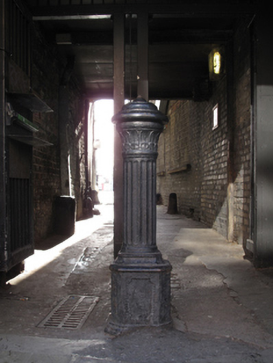 bollardbollard · 6 yd
 Foley's Pharmacyhouse · 11 yd
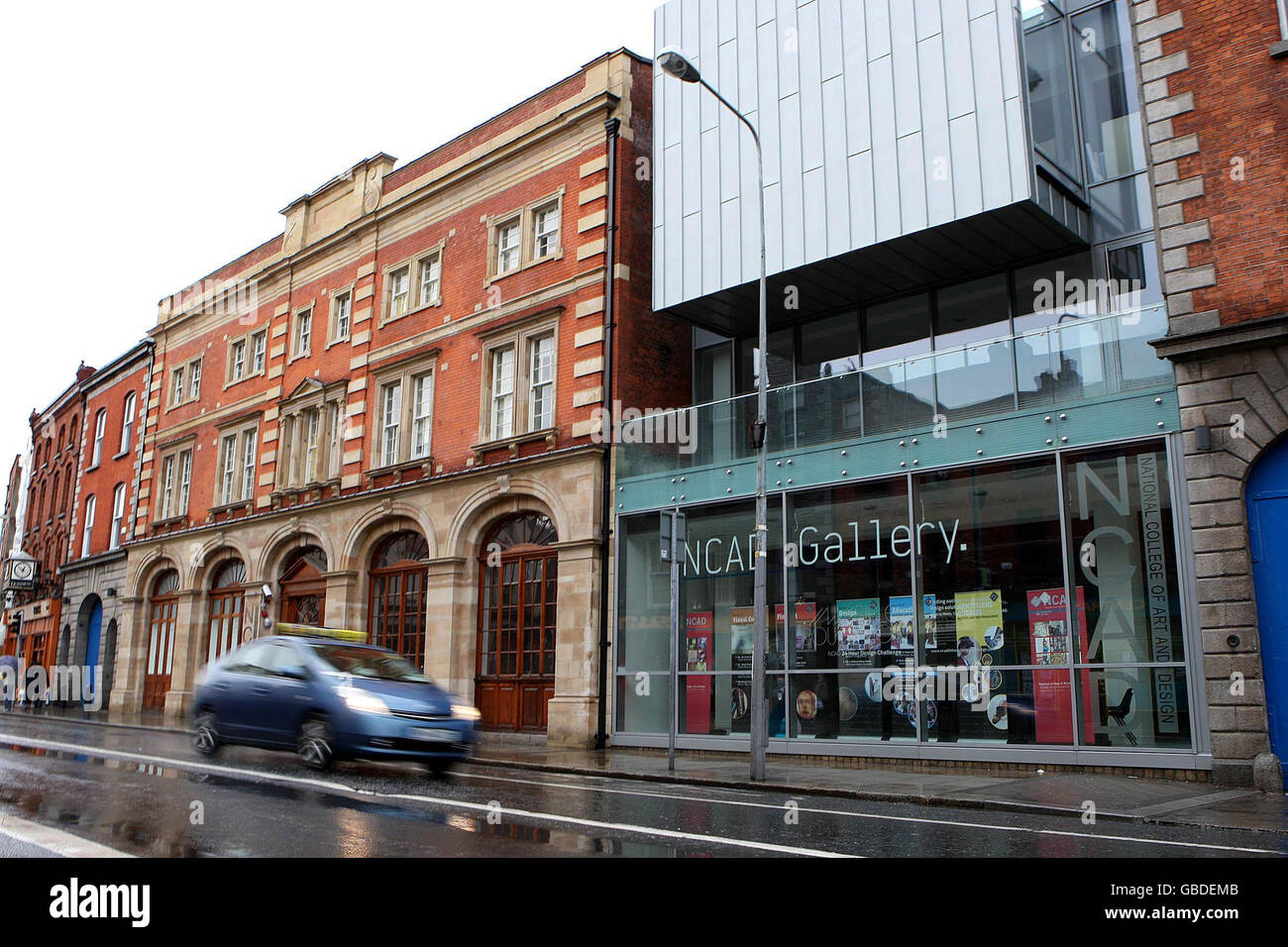 NCAD GalleryGallery · 40 yd
 Medieval DublinVisitor information · 223 yd
 Gairdín Súgartha i gCuimhne ar na Páistí a Cailleadh in 1916Memorial · 241 yd
 Cross-slab in Unknown TownlandCross-slab · 315 yd
 Font in Unknown TownlandFont · 315 yd
 Medieval City Wall and St. Audeon's ArchHeritage attraction · 315 yd
 European PearEuropean Pear · 435 yd
 Graveyard in Unknown TownlandGraveyard · 755 yd
 CastleCastle, unclassified · 965 yd
 London PlaneLondon Plane · 1193 yd