What is recorded here
Two houses at Galley are marked on the Strafford map of c. 1636 (Simington 1949, Athlone (388)). One of them probably is the tower house (RO042-045001-), and the other was not encountered.
Compiled by: Michael Moore
Date of upload: 24 August 2010
The monument record does not grant public access. Check the route and ask the landowner before entering private land.
- What survives
- Recorded monument
Places near here
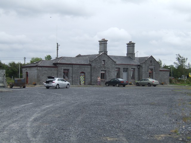 Knockcroghery Railway Stationrailway station · 601 yd
 Embanked enclosureCastle, ringwork · 980 yd
 Galey CastleCastle, tower house · 991 yd
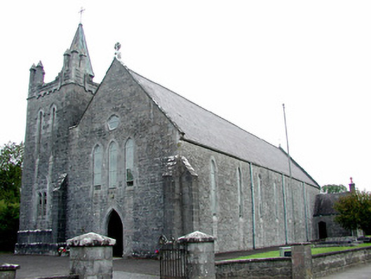 Saint Patrick's Catholic Churchchurch/chapel · 1169 yd
 Galey BayBay · 1321 yd
 Hangman's HillMountain / peak · 1726 yd
 Not idicatedFairy fort / earthen ringfort · 1.0 mi
 Cruit PointHeadland · 1.4 mi
 Tober ReeogeHoly well · 1.5 mi
 Sedgy IslandIslet · 2.0 mi
 Dogs IslandIslet · 2.1 mi
 St. John's WoodWood · 2.9 mi