What is recorded here
According to the Civil Survey (1654-6) a small stone house was on the Monasootagh property of Lord Mountnoriss in 1641 (Simington 1953, 271). It was on an extensive estate including Monasootagh, Ballyduff, Raheen, Carriglegan, Coolnaleen and Kilcloran townlands as well as the townland of Cnocangarrow, which later became Camolin and Camolin Park (Loeber and Stouthamer-Loeber 1987, 194). The house may have been in the Camolin townlands as an index to the Survey suggests (Simington 1953, 292), but it remains unlocated.
Compiled by: Michael Moore
Date of upload: 11 April, 2011
Amended: 13 May, 2014
The monument record does not grant public access. Check the route and ask the landowner before entering private land.
- What survives
- Recorded monument
Places near here
 Camolin WoodForest · 318 yd
 Camolin Park Ho.House, 17th century · 496 yd
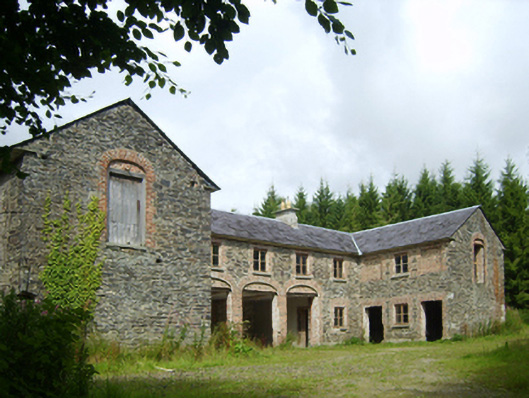 Camolin Park Housestables · 527 yd
 Enclosure in BolinaspickEnclosure · 1.3 mi
 Enclosure in ClonhenretEnclosure · 1.4 mi
 Milshoge RockMountain / peak · 2.1 mi
 Kilbora WoodForest · 2.4 mi
 SlieveboyMountain / peak · 2.5 mi
 Blue SchoolMemorial · 3.2 mi
 Saint Brigid's WellSpring · 3.7 mi
 Ferns Castle (in ruins)Castle, Anglo-Norman masonry castle · 3.8 mi
 Giants BedNamed rock · 3.8 mi