What is recorded here
The Down Survey map depicts a two storey high gable ended house with central chimney stack of 16th/17th century appearance in the present village of street which was the property in 1640 of the Irish papist, Theobald Delamarr who possessed 604 plantation acres of land in Street (NLI, MS 723-4). On the Down Survey map of the barony of Moygoish the gable ended building with central chimneystack is depicted standing on a low rise of ground or a low hill just below the name 'Streete' (NLI, MS 723-4). The precise location of this building has not been identified. Today there are no surface remains of any 16th/17th century building in the village of Street which is depicted on the Down Survey map.
Compiled by: Caimin O'Brien
Date of upload: 17 June 2015
The monument record does not grant public access. Check the route and ask the landowner before entering private land.
- What survives
- Recorded monument
Places near here
 MoatCastle, motte and bailey · 240 yd
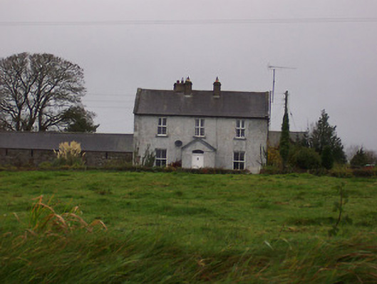 Tinode Househouse · 346 yd
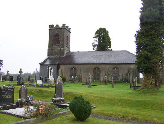 Saint Mary's Church (Street)church/chapel · 353 yd
 Partially hachuredFairy fort / earthen ringfort · 824 yd
 Partially indicatedFairy fort / earthen ringfort · 1530 yd
 CastleCastle, motte · 2.0 mi
 Silver FirSilver Fir · 2.7 mi
 Sweet ChestnutSweet Chestnut · 3.6 mi
 Edgeworthstown BypassMemorial · 4.8 mi
 Bridge Memorial (Kenna)Memorial · 5.6 mi
 Granard MotteMotte-and-bailey castle remains · 6.5 mi
 1798 Monumentmonument · 6.6 mi