What is recorded here
Shown on the 1st ed. (1838) of the OS 6-inch map as a roughly circular enclosure (est. max. diam. c. 40m) defined by a field boundary, with a tree-covered interior. One of four enclosures (the other three being rectangular - max. dims. L c. 50m Wth c. 40m), all tree-covered and fairly regularly spaced (distances apart 100m, 100m and 200m) which form a NE-SW landscape feature-line along the hilltop, possibly associated with Newtown House c. 1400m to the S. Near the top of a long, gentle, E-facing pasture slope. A very poorly preserved, circular area (int. diam. 28m) is defined by a low scarp (H 0.2-0.4m) SSE-W-NW and is clear of tree cover. The field boundary indicated on the current OS 6-inch map (1911) running NW-SE across the site has been removed. May be the remains of a subsequently landscaped ringfort?
Compiled by: Gearóid Conroy
Date of upload: 10 June 2011
This remains an important historical record, but the official description says the monument is no longer visible or has been destroyed. The monument record does not grant public access. Check the route and ask the landowner before entering private land.
- What survives
- No visible remains or recorded as destroyed
Places near here
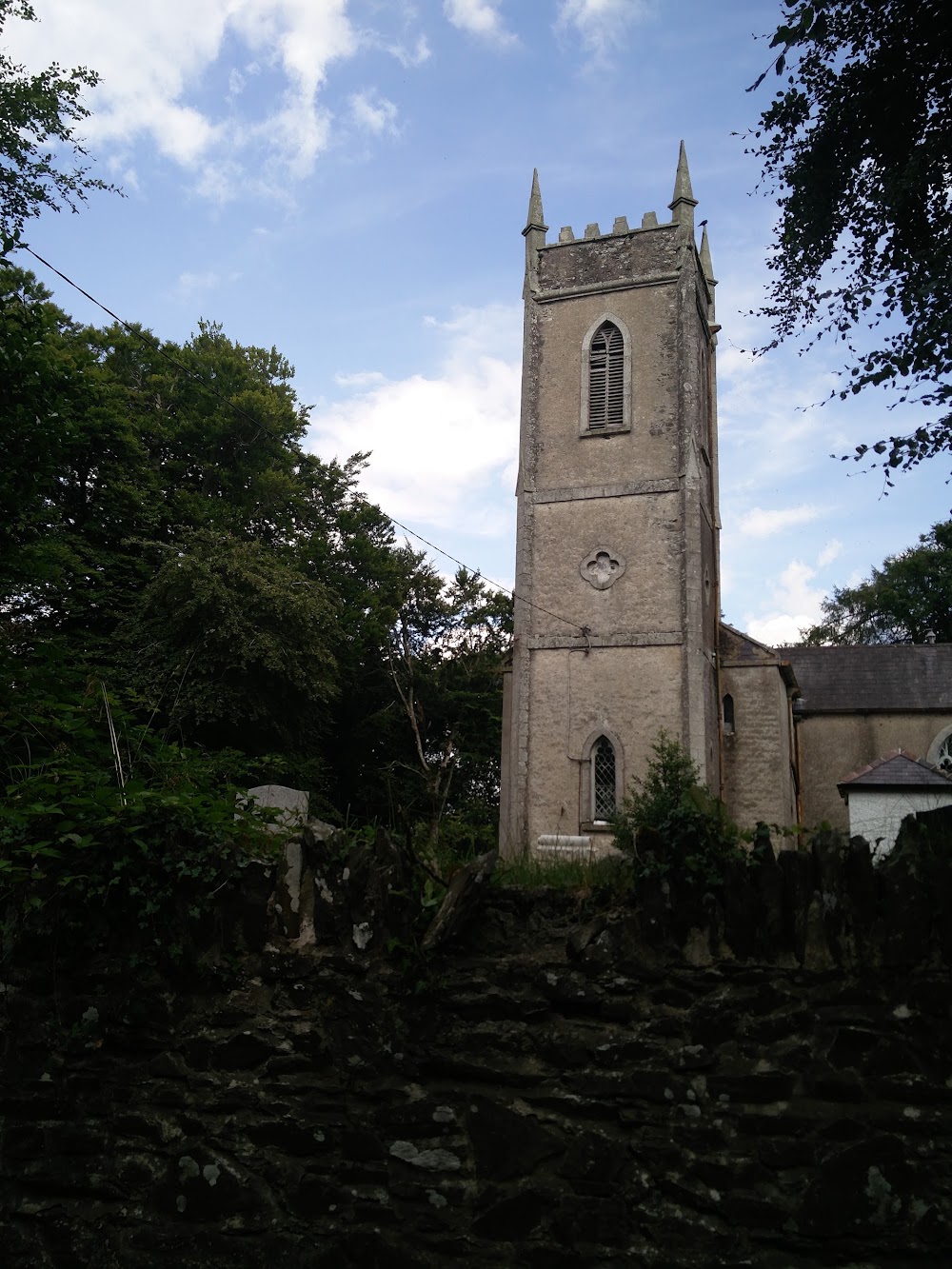 Church in HortlandChurch · 1119 yd
 MoatCastle, motte · 1146 yd
 water pumpwater pump · 1493 yd
 Enclosure in BallykeelanEnclosure · 1610 yd
 Enclosure in FanaghsEnclosure · 1686 yd
 The Grill ShackHeritage attraction · 1.6 mi
 9/11 MemorialMemorial · 2.0 mi
 Donadea Forest ParkVisitor information · 2.1 mi
 Donadea CastleCastle, tower house · 2.2 mi
 Loughtown CovertWood · 3.2 mi
 Old Bog Road made famous by Teresa Bryton 1868-1943Memorial · 3.5 mi
 European ashEuropean ash · 4.0 mi