What is recorded here
Half a football pitch wide and no more, the graveyard in County Kildare holds three centuries of the dead inside a ditch seven metres across. The living once fenced more room into the old church ground, pulling the boundary westward with two wooden arcs as if death itself needed more space. Stones still stand where people fell asleep from the late 1600s to the late 1900s, while a forgotten font waits beneath the grass, ready to give clean water to hands that have stopped clapping.
Partly incorporated into a possible early ecclesiastical enclosure (KD004-018001-). A D-shaped area (int. diam. 28m E-W) with straight W side (L c. 18m) is defined by a broad, deep ditch (max Wth 7.4m; max D 2m) and a low, narrow, external earthen bank (Wth 0.8m; ext. H 0.4m) NW-E-SW, and by a low scarp (H 0.9m) along the W, from where two concentric arcs of wooden fencing extend the burial limits W (L 19m E-W) into the interior of the older enclosure (KD004-018001-). Legible grave markers commemorate burials from the late 17th century to the late-20thC. See Cullen and O'Leary (1999, 66-69) for plan and inventory of burials. The interior contained a font (KD004-018004-).
Compiled by: Gearóid Conroy
Date of upload: 10 June 2011
Early medieval graveyard, possibly associated with an ecclesiastical site; its location and ditched enclosure suggest a significant, though poorly understood, religious or ceremonial function in the local landscape.
The monument record does not grant public access. Check the route and ask the landowner before entering private land.
- What survives
- Recorded monument
Places near here
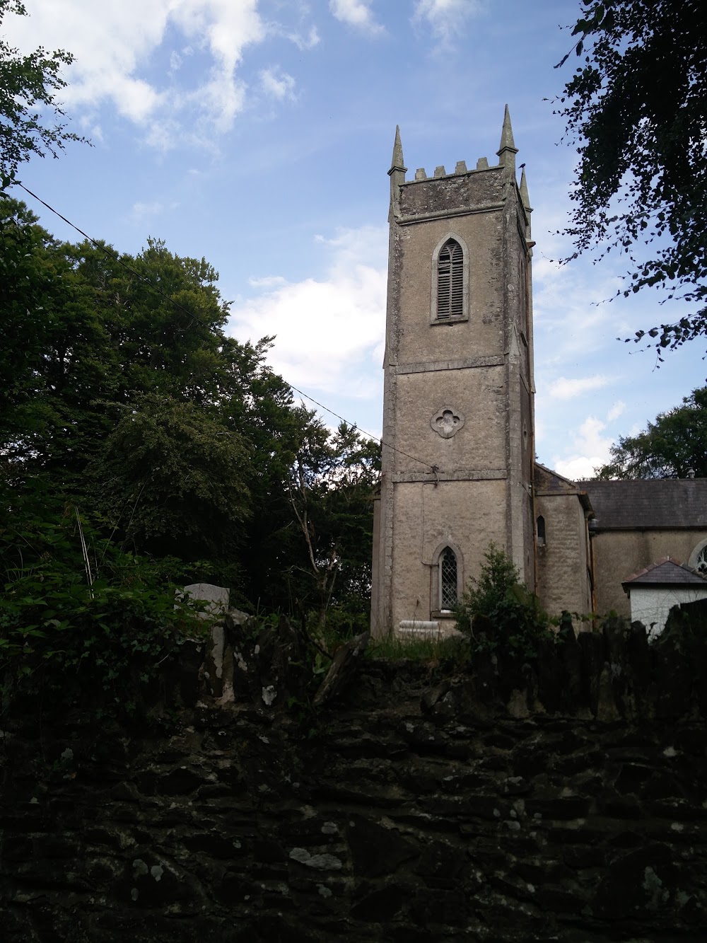 Church in HortlandChurch · 1 yd
 MoatCastle, motte · 75 yd
 water pumpwater pump · 1057 yd
 Ovidstown RathEnclosure · 1485 yd
 IndicatedFairy fort / earthen ringfort · 1.0 mi
 The Grill ShackHeritage attraction · 1.5 mi
 9/11 MemorialMemorial · 2.4 mi
 Site of Dunfierth CastleCastle, unclassified · 2.5 mi
 Donadea Forest ParkVisitor information · 2.6 mi
 Old Bog Road made famous by Teresa Bryton 1868-1943Memorial · 3.3 mi
 Loughtown CovertWood · 3.8 mi
 European ashEuropean ash · 3.9 mi