What is recorded here
Fairy fort / earthen ringfort in Honeymount is a fairy fort or earthen ringfort in Honeymount, County Tipperary, Ireland. It occupies a south-east-facing slope in hummocky pastureland. A low bank, largely reduced to a scarp 1.55 metres high, surrounds a raised circular area 25 metres from north to south. An outer ditch, about 2.8 metres wide and 0.44 metres deep, runs outside that bank.
Located on a SE-facing slope in very hummocky, undulating terrain in poor pastureland. A raised circular area (25m N-S) defined by a low bank largely reduced to a scarp (H 1.55m) and an outer fosse (Wth c. 2.8m; D 0.44m) with quite a lot of scrub in the wet, muddy interior. A stone wall tops the bank at W and a low, drystone wall runs SE of the site. A roadway aligned NW-SE runs immediately NE of the site.
The above description is derived from 'The Archaeological Inventory of County Tipperary. Vol. 1 - North Tipperary' compiled by Jean Farrelly and Caimin O'Brien (Dublin: Stationery Office, 2002). In certain instances the entries have been revised and updated in the light of recent research.
Date of upload/revision: 22 September 2008
The monument record does not grant public access. Check the route and ask the landowner before entering private land.
- What survives
- Recorded monument
Places near here
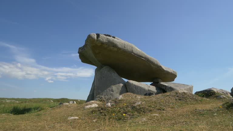 Delany's StoneArchaeological place · 817 yd
 Holly WellHoly well · 982 yd
 Hollywell Millmill (water) · 1098 yd
 CastleCastle, ringwork · 1264 yd
 MoatCastle, motte · 1743 yd
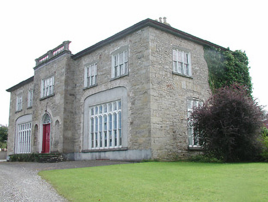 Lisduff Housecountry house · 1.0 mi
 Longford WoodForest · 1.7 mi
 BenduffMountain / peak · 2.5 mi
 Borrisnoe MountainMountain / peak · 3.5 mi
 Coolock WoodForest · 5.0 mi
 Roscrea Petty Sessions HouseHeritage attraction · 5.8 mi
 Millennium GardenMemorial · 6.8 mi