What is recorded here
Toberdoney, or Tubberdoney, marks a holy well in Drumnasole, County Antrim, where water likely sustained life and belief long before written records. The name itself preserves the sacred purpose, suggesting people visited this spot to drink, heal or pray under open skies. Uncertainty about the exact era does not diminish the well; it widens the imagination, inviting us to hear dripping water and footpaths worn by generations who trusted the earth to provide.
The official Northern Ireland record identifies this as HOLY WELL: TOBERDONEY or TUBBERDONEY. Recorded period: UNCERTAIN. The official map point was placed at the centre of the recorded archaeological site from the source map reference.
Linked to Saint Doney, the well is traditionally associated with healing and was historically visited for its supposed curative properties, particularly for skin ailments and general well-being. Pilgrimages to the site may have continued into the 19th century, reflecting a blend of early Christian and pre-Christian healing traditions.
The monument record does not grant public access. Check the route and ask the landowner before entering private land.
- What survives
- Recorded monument
Places near here
 ENCLOSUREENCLOSURE, CASTLE?: CASTLE HILL · 1521 yd
 FIELD SYSTEMFIELD SYSTEM, BOUNDARIES; ENCLOSURES; STRUCTURES · 1700 yd
 PROMONTORY FORT: DUNMALL or DUNMAUL or GARRON TOWER in Galboly LowerPROMONTORY FORT: DUNMALL or DUNMAUL or GARRON TOWER · 1.6 mi
 Carnlough HarbourHarbour/ Pier · 2.1 mi
 Millennium MilepostVisitor information · 2.2 mi
 The White LadyNamed rock · 2.2 mi
 Cranny FallsWaterfall · 2.4 mi
 Ardclinis BridgeBridge · 2.6 mi
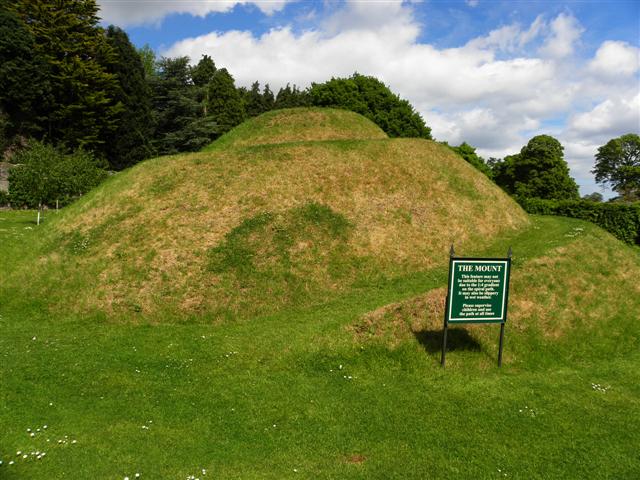 The MountViewpoint · 4.0 mi
 Glenarm CastleCastle · 4.1 mi
 Ess-Na-Crub WaterfallWaterfall · 4.7 mi
 LurigethanMountain / peak · 4.8 mi