What is recorded here
Not marked on any edition of the OS 6-inch map. Mulligan (ITA Survey 1942-4) recorded a well in this townland which, according to tradition, had been established by St. Adamnan. Pilgrimmages to the well had ceased c.1890. However prior to then large numbers of peoples visited the well, some travelling considerable distances. Because of this the well was called 'Tober-na-Gaill' or the 'Well of the Strangers'. Not located.
Compiled by: Patrick F. O'Donovan
Date of upload: 19 January 2011
Linked to St. Adamnan, the holy well in Toberawnaun was traditionally believed to have curative properties, though specific ailments or rituals associated with it are not recorded. Pilgrimages to the site ceased around 1890, and it is not marked on historical Ordnance Survey maps.
The monument record does not grant public access. Check the route and ask the landowner before entering private land.
- What survives
- Recorded monument
Places near here
 Enclosure in ToberawnaunEnclosure · 96 yd
 IndicatedFairy fort / earthen ringfort · 585 yd
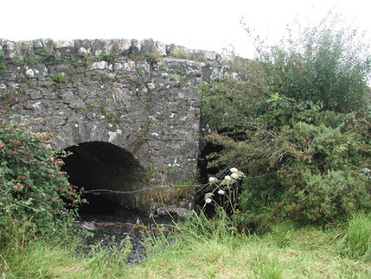 Ardnaglass Bridgebridge · 625 yd
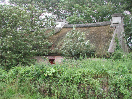 P. Breheneyhouse · 780 yd
 Dunmoran StrandBeach / strand · 1147 yd
 CastleCastle, Anglo-Norman masonry castle · 1552 yd
 Aughris BeachBeach / strand · 1.3 mi
 Aughris HeadHeadland · 2.3 mi
 Bawn in CarrowbrickeenBawn · 2.6 mi
 Derkmore PointHeadland · 3.1 mi
 Giant's GraveArchaeological place · 3.5 mi
 Valley WoodForest · 3.6 mi