What is recorded here
Whitehead has stood in County Antrim since late medieval times, its identity stretching unbroken into the modern era. The settlement predates formal mapping, meaning human hands shaped that ground long before surveyors drew lines across it. Its continuity suggests steady occupation rather than seasonal use, though the exact rhythm of daily life has faded. What remains is a place that refused to disappear, holding its name and position through every changing border around it.
The official Northern Ireland record identifies this as HISTORIC SETTLEMENT: WHITEHEAD. Recorded period: LATE-MED; POST-MED; MODERN. The official map point was placed at the centre of the recorded archaeological site from the source map reference.
The monument record does not grant public access. Check the route and ask the landowner before entering private land.
- What survives
- Recorded monument
Places near here
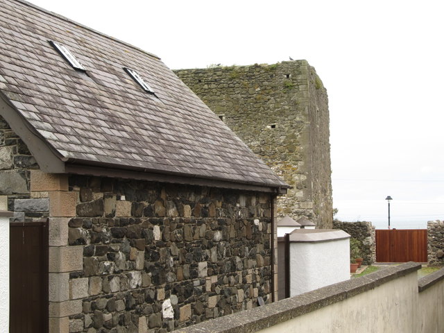 TOWER-HOUSE: CASTLE CHICHESTER in White HeadTOWER-HOUSE: CASTLE CHICHESTER · 59 yd
 Whitehead Railway StationRailway Station Structures · 289 yd
 St Patrick's Church of IrelandChurch · 342 yd
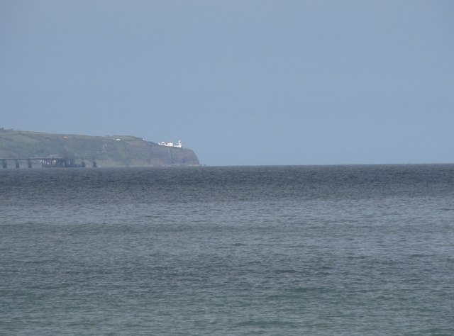 BlackheadHeadland · 1.1 mi
 Muldersleigh HillMountain / peak · 1.1 mi
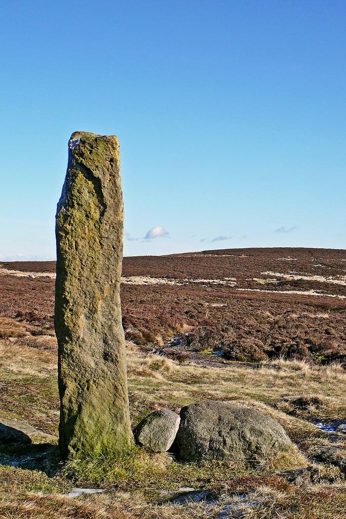 HENGE (?) or HENGIFORM ENCLOSURE (?) (Possible) in DobbslandHENGE (?) or HENGIFORM ENCLOSURE (?) (Possible) · 1.6 mi
 ENCLOSURE? (unlocated) in BentraENCLOSURE? (unlocated) · 1.7 mi
 FORTIFICATIONFORTIFICATION, BAWN · 2.0 mi
 POST-MED CHURCH; MEDIEVAL PARISH CHURCH; GRAVEYARD: TEMPLECORRAN CHURCH or TEMPLE-I-CORRAN or LISLAYNAN in Forthill (ballycarry)POST-MED CHURCH; MEDIEVAL PARISH CHURCH; GRAVEYARD: TEMPLECORRAN CHURCH or TEMPLE-I-CORRAN or LISLAYNAN · 2.1 mi
 the gobbins pathHeritage attraction · 3.3 mi
 Otter CaveCave · 3.7 mi
 Andrew Jackson Cottage and US Rangers CentreHeritage attraction · 3.7 mi