What is recorded here
Dewcorran anchored Lurgan before modern borders drew their sharp lines across County Armagh. People lived there through medieval, seventeenth, eighteenth, nineteenth and twentieth centuries, tying daily life to the same ground. The settlement outlasted every changing law and kingdom because ordinary humans kept returning to it.
The official Northern Ireland record identifies this as HISTORIC SETTLEMENT: LURGAN, also DEWCORRAN. Recorded period: POST-MED; C19TH; C20TH; C18TH; C17TH. The official map point was placed at the centre of the recorded archaeological site from the source map reference.
The monument record does not grant public access. Check the route and ask the landowner before entering private land.
- What survives
- Recorded monument
Places near here
 Carnegie LibraryLibrary · 131 yd
 Lurgan War MemorialMemorial · 285 yd
 Brownlow HouseMuseum · 503 yd
 ENCLOSURE in DerrylisnahavilENCLOSURE · 1.1 mi
 ENCLOSURE in ClankilvoraghENCLOSURE · 1.2 mi
 Waringstown Red WoodsForest · 2.3 mi
 Ellis GutBay · 2.8 mi
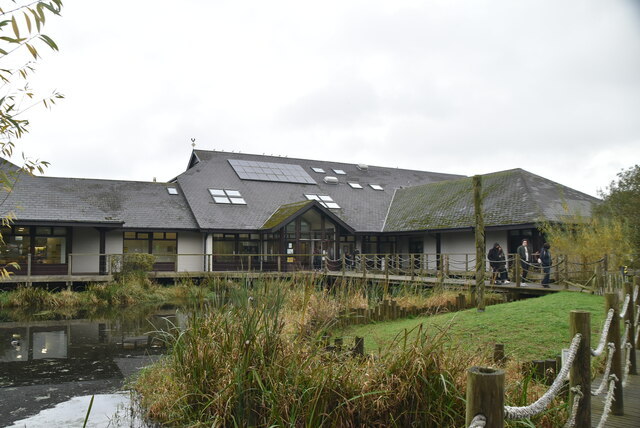 Lough Neagh Discovery CentreHeritage attraction · 3.2 mi
 CASTLE (site of): MOIRA CASTLE in RiskCASTLE (site of): MOIRA CASTLE · 4.4 mi
 Portadown Railway StationMemorial · 4.9 mi
 Whitecoat PointHeadland · 5.2 mi
 PortadownVisitor information · 5.3 mi