What is recorded here
First identified in centre-line testing (00E0379) for the re-alignment of the N25 Wexford town to New Ross road (Elder and Tierney 2002), and fully excavated (00E0425) subsequently. It is located on an E-facing slope. An area (dims. c. 10m NW-SE; c. 8m NE-SW) produced a concentration of shallow pits, post-holes and stake-holes around a hearth (dims 1.4m N-S; 1.2m E-W) (Tierney 2002). Three of the pits produced pottery and what may be fragments of crucibles. Charcoal from a stake-hole produced a C14 date of cal BC 1190-930 (Tierney and Johnston 2006, 7). Archaeological testing (06E0778) on a large triangular site (dims. c. 240m N-S; c. 270m E-W at N) immediately S of the road and SW of this location produced no archaeological material of features (McLoughlin 2009).
Compiled by: Michael Moore
Date of upload: 8 November, 2012
The monument record does not grant public access. Check the route and ask the landowner before entering private land.
- What survives
- Recorded monument
Places near here
 KilnKiln, corn-drying · 195 yd
 Church in Harristown BigChurch · 534 yd
 Enclosure in Harristown LittleEnclosure · 1181 yd
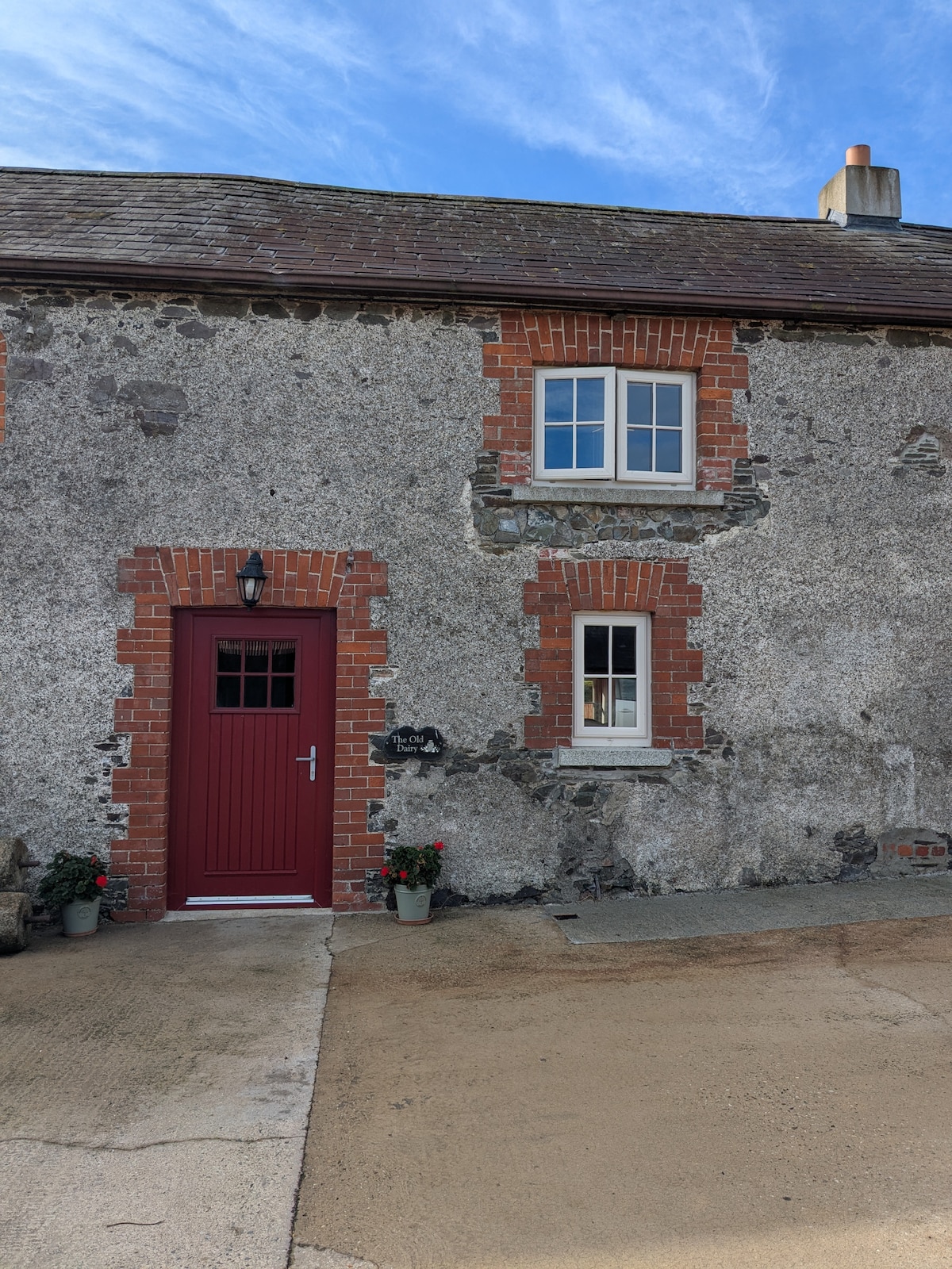 Hearth in BricketstownHearth · 1211 yd
 Taghmon CastleCastle · 2.0 mi
 Bawn in SiginshaggardBawn · 2.6 mi
 Camaross HillMountain / peak · 3.3 mi
 Celebrating 125 YearsMemorial · 3.4 mi
 Ravens RocksMountain / peak · 3.8 mi
 Battle Of The Three RocksMemorial · 4.0 mi
 Battle of Three Rocksbattle · 4.3 mi
 Glenour MonumentMemorial · 4.4 mi