
What is recorded here
Situated at the S edge of a fairly level landscape and overlooking the ravine of the Corrock river on the N side at a point where the Corrock turns from SE-NW to E-W. There is a local tradition of a church at this location. It was quarried c. 1985 but there are no reports of any masonry or bones being discovered. It is an active quarry. Archaeological testing (06E0778) on a large triangular site (dims. c. 240m N-S; c. 270m E-W at N) c. 100m to the NE produced no archaeological material or features (McLoughlin 2009).
Compiled by: Michael Moore
Date of upload: 8 November, 2012
A local church or high cross; wider significance not recorded.
The monument record does not grant public access. Check the route and ask the landowner before entering private land.
- What survives
- Recorded monument
Places near here
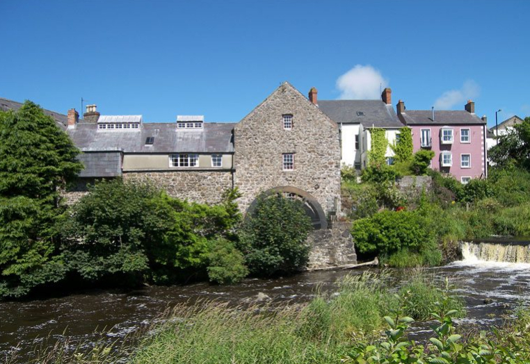 KilnKiln, corn-drying · 674 yd
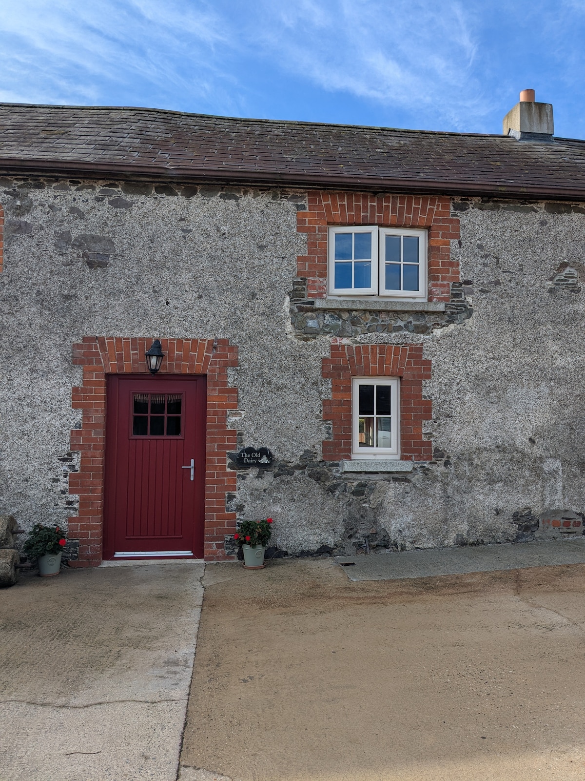 Hearth in BricketstownHearth · 1009 yd
 farm housefarm house · 1083 yd
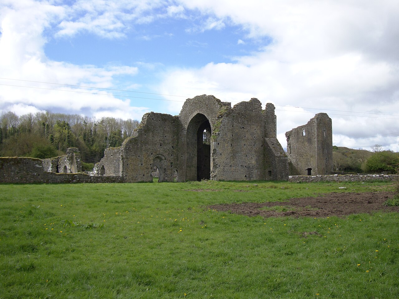 IndicatedFairy fort / ringfort · 1249 yd
 Taghmon CastleCastle · 1.7 mi
 Bawn in SiginshaggardBawn · 2.5 mi
 Camaross HillMountain / peak · 3.3 mi
 Celebrating 125 YearsMemorial · 3.7 mi
 Ravens RocksMountain / peak · 3.8 mi
 Battle Of The Three RocksMemorial · 4.1 mi
 Glenour MonumentMemorial · 4.4 mi
 Battle of Three Rocksbattle · 4.5 mi
Other information
Photo: Credit not shown in the picture search · Rights wording not checked; contact us if this picture should be removed