
What is recorded here
Half a kilometre west of the main road, a broken ring of earth and stone still marks the fort where the fairies are said to keep their court. The bank has worn thin on the south side but rises two metres on the north, and a four-metre gap at the northeast may be the ancient entrance. Inside, a possible underground passage disappears from view, inviting the kind of curiosity that gets people lost in fairy time.
The following description is derived from both the published 'Archaeological Inventory of County Louth' (Dublin: Stationery Office, 1986) and the 'Archaeological Survey of County Louth' (Dublin: Stationery Office, 1991). In certain instances the entries have been revised and updated in the light of recent research.
Date of upload/revision: 17 July 2007
Circular area (int. diam. 42.5m) enclosed by much-degraded earth and stone bank (Wth 4.5m, H 0.4m on S, 2m on N). No visible trace of fosse. Gap (Wth 4m) at NE is probably ancient entrance. Possible Man-made underground passage (LH017-030002-) in interior.
This remains an important historical record, but the official description says the monument is no longer visible or has been destroyed. The monument record does not grant public access. Check the route and ask the landowner before entering private land.
- What survives
- No visible remains or recorded as destroyed
Places near here
 Garrets FortArchaeological place · 18 yd
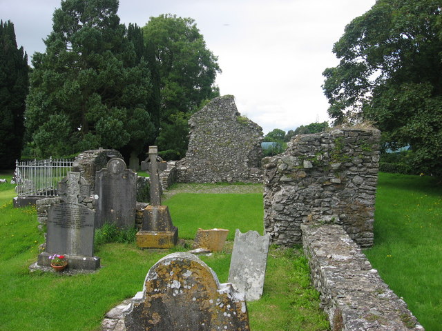 Kildemock Church (in ruins)Church · 728 yd
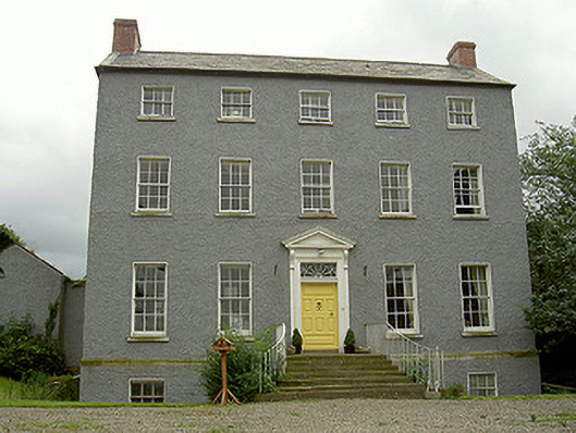 Kildemock Houserectory/glebe/vicarage/curate's house · 811 yd
 Holy well in MillockstownHoly well · 978 yd
 Graveyard in StickillinGraveyard · 1.2 mi
 Dawsons MoatCastle, motte and bailey · 1.3 mi
 Not idicatatedCastle, unclassified · 1.5 mi
 European White ElmEuropean White Elm · 1.8 mi
 Sir Frederick Foster MemorialMemorial · 1.8 mi
 Lebanon CedarLebanon Cedar · 2.3 mi
 Mount OrielMountain / peak · 3.3 mi
 Black HillMountain / peak · 4.2 mi
Other information
Photo: Credit not shown in the picture search · Rights wording not checked; contact us if this picture should be removed