What is recorded here
On a low rise of dry ground on marshy land, with restricted views of the surrounding countryside. Monument visited in 1971 and revisited in 1978 and described as a small circular area (dims. 7.3m NNW-SSE; 6.6m WSW-ENE) enclosed by a slight earthen bank (base Wth 2.4m; top Wth 0.4m; int. H 0.3m; ext. H 1.1m) with a narrow shallow external fosse (top Wth 1.3m; ext. D 0.25m). No entrance feature visible. A large stone is visible lying in the fosse at ESE. Not indicated on the 1837 ed. OS 6-inch map but depicted as a small barrow type monument on the revised 1910 ed. OS 6-inch map where it is annotated as 'Knocknakill'.
Compiled by: Caimin O'Brien
Date of upload: 23 July 2013
The monument record does not grant public access. Check the route and ask the landowner before entering private land.
- What survives
- Recorded monument
Places near here
 Ecclesiastical enclosure in CastlelostEcclesiastical enclosure · 222 yd
 Church (in Ruins)Church · 237 yd
 Castlelost MoatCastle, motte and bailey · 482 yd
 CastleCastle, unclassified · 525 yd
 Partially hachuredEnclosure · 589 yd
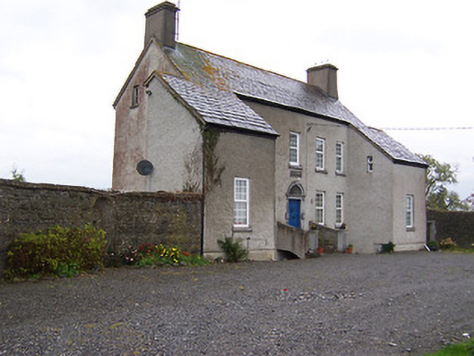 West Househouse · 996 yd
 Mollie Moo's Pet FarmHeritage attraction · 3.6 mi
 Derrygreenagh HillMountain / peak · 3.8 mi
 Belvedere house and gardensVisitor information · 4.0 mi
 Blind IslandIslet · 4.1 mi
 Dysart IslandIsland · 4.7 mi
 Knockdrin HillMountain / peak · 4.7 mi