What is recorded here
Hachured is a 276 ft. fairy fort in County Limerick, Ireland. Its ring-ditch and bank still mark the grass beside Ballyhinnaught, while trees outline the old circle from above. The land has changed around it, but the fort remains a visible anchor in the pasture.
In improved pasture immediately E of townland boundary with Ballyhinnaught. Ring-ditch (LI047-107----) 85m to S. Depicted on the 1840 ed. OSi 6-inch map as a raised circular-shaped area. Shown on the 1897 ed. OSi 25-inch map as a circular-shaped area (diam. 27m) enclosed by a bank with external drainage channel from NW-E-SW. Outline of monument is visible as a circular-shaped area delimited by trees on aerial photograph ASIAP (372) 24 taken 10/05/2003 and on Google Earth orthoimage dated 20/09/2020.
See attached Google Earth orthoimages and ASIAP aerial photograph.
Compiled by: Martin Fitzpatrick
Date of upload: 4 May 2021
The monument record does not grant public access. Check the route and ask the landowner before entering private land.
- What survives
- Recorded monument
Places near here
 Site of CastleCastle, unclassified · 1295 yd
 Hachured, Crow FieldEnclosure, large enclosure · 1382 yd
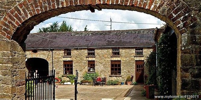 Enclosure in BrureeEnclosure · 1518 yd
 bridgebridge · 1.1 mi
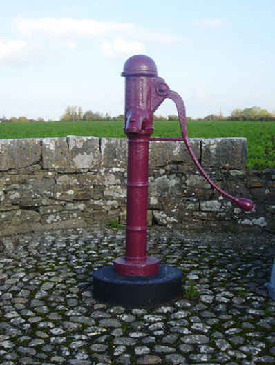 water pumpwater pump · 1.1 mi
 Bruree Castle Upper (ruins)Castle · 1.4 mi
 King John's CastleCastle · 2.5 mi
 Lady's WellSpring · 3.7 mi
 ToberSpring · 3.8 mi
 Holy Cross CemeteryGraveyard · 4.9 mi
 Flat cemetery in Knockainy WestFlat cemetery · 8.3 mi
 Ballinvreena LoopVisitor information · 8.3 mi