What is recorded here
Archaeological monitoring (15E0577) by P. Duffy, D. Bayle and J. Whitaker of topsoil stripping over a large area (c. 92 ha.) conducted intermittently between Dec. 2015 and October 2018 uncovered 37 locations of potential archaeological importance (excavations.ie 2016:051). Each of these was further investigated by the same archaeologists under different licences. At Site 5a, excavation (16E0038) by P. Duffy recorded (excavations.ie 2016:558) a pit (dims 1.28m x 0.9m; D 0.47) beside a larger cut feature (dims 2.65m x 1.7m; D 0.3) that is probably a tree bole. About 15m further E were two smaller pits (dims 0.3m x 0.3m; D 0.13m: 0.56m x 0.49m; D 0.09m) placed side by side. The pits were filled with yellow to grey and black clays with silts and had rare to frequent charcoal and stone inclusions. A fragment of alder charcoal from the largest pit provided the C14 date of 1958-1752 cal. BC (FTMC-HR036-1) placing it at the later part of the Early Bronze Age. (Duffy et. al. 2021, 17-18)
Compiled by: Michael Moore
Date of upload: 26 April, 2023
Duffy, P., Fairhead, S. & F. Fleeshouven 2021 Final Excavation Report for Sites 3-37, Clonee, Portan, Gunnocks, Co. Meath. Multiple licences, Unpublished report, Irish Archaeological Consultancy
The monument record does not grant public access. Check the route and ask the landowner before entering private land.
- What survives
- Recorded monument
Places near here
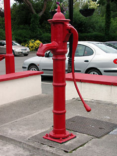 water pumpwater pump · 1220 yd
 Church in Clonee (dunboyne By.)Church · 1273 yd
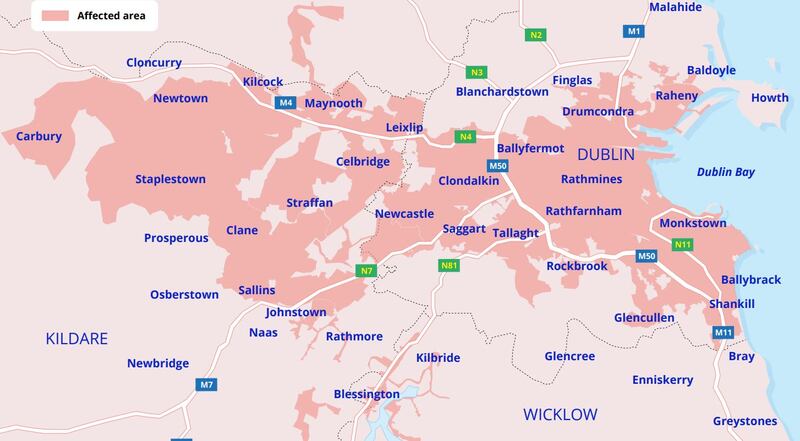 Ring-ditch in PowerstownRing-ditch · 1596 yd
 Enclosure in ParslickstownEnclosure · 1603 yd
 TyrrelstownWood · 1.4 mi
 Graveyard in BuzzardstownGraveyard · 1.6 mi
 Church, GraveyardChurch · 2.2 mi
 Blanchardstown Centre information deskVisitor information · 2.3 mi
 Wesley's WoodsWood · 2.4 mi
 Luttrellstown CastleCastle · 2.9 mi
 Kilbride MoatCastle, motte · 3.1 mi
 Griffeen Valley WalkWalking route · 5.0 mi