What is recorded here
Situated on a rise in the valley of the W-E Broad Meadow River with the stream c. 190m to the S at the nearest point. The cropmark of a circular enclosure (int. diam. c. 10m; ext. diam. c. 25m) defined by two narrow fosses is visible on Google Earth (24/06/2019). The ring-ditch (ME045-063001-) is c. 40m to the WSW. Both ring-ditches are also visible on OSI images (2005), and were first reported to the National Monuments Service by Anthony Murphy.
See the attached view from Google Earth (24/06/2019)
Compiled by: Michael Moore
Date of upload: 20 February 2019
The monument record does not grant public access. Check the route and ask the landowner before entering private land.
- What survives
- Recorded monument
Places near here
 Church (in Ruins)Church · 573 yd
 Enclosure in Rath (ratoath By., Greenoge Par.)Enclosure · 1129 yd
 Earthwork in FieldstownEarthwork · 1163 yd
 Wooly Ward's FarmHeritage attraction · 1.1 mi
 CastleCastle, motte · 1.4 mi
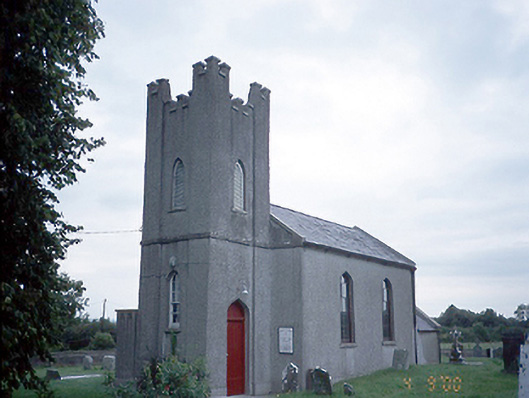 Saint David's Church (Kilsallaghan)church/chapel · 1.4 mi
 Graveyard in KillosseryGraveyard · 1.6 mi
 AshbourneMemorial · 1.8 mi
 Freedagh MoatCastle, motte · 2.3 mi
 St. John's WellSpring · 3.8 mi
 Wesley's WoodsWood · 3.9 mi
 St Cronans WellSpring · 4.4 mi