What is recorded here
No stones, no mounds, no markers. Only a gentle slope of rough pasture descending toward Lough Eske in County Donegal. The land remembers what the surface forgot: small bodies laid to rest beneath grass that has since grown tall and unbroken. Children belong to earth before they belong to witness.
Marked 'Caldragh' on the 3rd edition of the OS 6-inch map and known as a children's burial ground. There are no surface features. The site is located in rough pasture sloping gently to the S towards Lough Eske.
The above description was derived from the 'Archaeological Survey of County Donegal. A description of the field antiquities of the County from the Mesolithic Period to the 17th century.' Compiled by: Brian Lacey with Eamon Cody, Claire Cotter, Judy Cuppage, Noel Dunne, Vincent Hurley, Celie O'Rahilly, Paul Walsh and Seán Ó Nualláin (Lifford: Donegal County Council, 1983). In certain instances the entries have been revised and updated.
Date of upload: 22 September 2008
The monument record does not grant public access. Check the route and ask the landowner before entering private land.
- What survives
- Recorded monument
Places near here
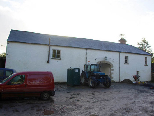 Ardnamona Houseoutbuilding · 601 yd
 Edergole Bridgebridge · 1205 yd
 Ard na Mona WoodOfficial walking route · 1469 yd
 Banagher HillMountain / peak · 1658 yd
 Benson's HillMountain / peak · 1.7 mi
 IndicatedBawn · 2.1 mi
 Old CastleCastle, tower house · 2.1 mi
 Enclosure in ArdeevinEnclosure · 2.4 mi
 Ardnamona Nature ReserveNational nature reserve · 2.8 mi
 Enclosure in OgherbegEnclosure · 3.2 mi
 Donegal Railway Heritage CentreMuseum · 4.8 mi
 Donegal CastleMuseum · 5.0 mi