What is recorded here
Green Island is a small overgrown crannog in Carrigeencor Lough, County Leitrim, recorded on maps from 1835 and still visible a hundred metres from the western shore. It rises only about a metre above the water and offers no clear sign of human making, yet its rounded shape and isolated position suggest people once lived, hid or tended something there. The lake may have kept the island company in darkness, rain and season, while the land around forgot the name and purpose.
Described as 'Green Island' in italic lettering on the 1835 and 1943 eds of the OS 6-inch map. It is situated in a bay at the SW end of Carrigeencor Lough (dims c. 1.2km N-S; c. 300-400m E-W) and c. 100m from the shore to the W. Overgrown circular island (diam. 20m; H 1m) with no visible surface evidence of artificial construction.
The above description is derived from 'The Archaeological Inventory of County Leitrim' compiled by Michael J. Moore (Dublin: Stationery Office, 2003). In certain instances the entries have been revised and updated in the light of recent research.
Date of upload: 23 September 2008
The monument record does not grant public access. Check the route and ask the landowner before entering private land.
- What survives
- Recorded monument
Places near here
 Green IslandIslet · 3 yd
 Enclosure in KilcoosyEnclosure · 709 yd
 Kilcoosey National Schoolschool · 1.1 mi
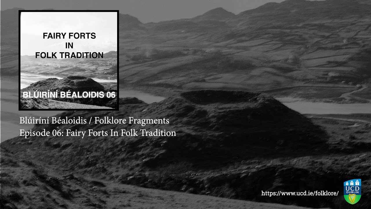 Fairy fort / earthen ringfort in SocksFairy fort / earthen ringfort · 1.1 mi
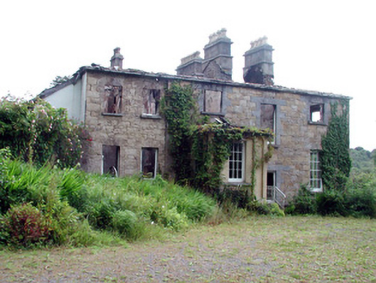 Drumlease Glebe Houserectory/glebe/vicarage/curate's house · 1.3 mi
 Old HallCastle, hall-house · 2.1 mi
 Doonbran Isd.Bawn · 3.0 mi
 BenboMountain / peak · 3.0 mi
 Parke's CastleHeritage attraction · 3.0 mi
 Cullentra ForestForest · 3.1 mi
 Trawane BayBay · 3.6 mi
 InnisfreeIslet · 3.8 mi