What is recorded here
Grave Yard is a subrectangular burial ground in County Cork, Ireland, where the ruined medieval parish church of Ardskeagh still stands among trees and pasture. It stopped receiving burials before the twentieth century, yet local memory claims gravestones remained visible until the mid-1970s, when some were moved or lost. The place retains a quiet strangeness: stones once read by neighbours now lie hidden, dumped or gone, leaving only the church ruin to mark what the land remembered.
In pasture, on a slight elevation. Subrectangular graveyard (30.9m N-S; 59.3m E-W) enclosed by a low earthen bank with a shallow internal fosse. On inspection in August 2023 it was also marked out by trees planted along the low bank. The ruin of the medieval parish church of Ardskeagh (CO003-014001-, National Monument no. 314) stands in the centre. It had ceased to be used as a burial ground by the beginning of the 20th century (Grove-White 1905-25, 72). No gravemarkers survive in situ, however, according to local information, many gravestones were in situ until the mid-1970s, when they were removed by the OPW; some were deposited in the SW corner of graveyard, in an area now overgrown, and some were removed from the site. A headstone dated 1758 was dumped inside the SE corner of church, as was a fragment of a decorated graveslab with foliated cross, probably of medieval date.
The above description is derived from the published 'Archaeological Inventory of County Cork. Volume 4: North Cork' (Dublin: Stationery Office, 2000). In certain instances the entries have been revised and updated in the light of recent research.
Date of upload/revision: 14 January 2009
Date of last revision: 15 August 2023
Photographs attached
CO003-014001-_01: Aerial view of the graveyard (Imagery ©2023 Google)
CO003-014001-_02: View of graveyard from NE (Image capture: May 2009 ©2023 Google)
CO003-014001-_03: Remains of the medieval church in the centre of the graveyard, from W.
CO003-014001-_04: View of graveyard from W.
CO003-014001-_05: N boundary of the graveyard, from SW.
CO003-014001-_06: View of graveyard from the SE corner of the graveyard, looking W.
CO003-014001-_07: E boundary of the graveyard from SE, with shallow fosse and low bank visible to the right.
The monument record does not grant public access. Check the route and ask the landowner before entering private land.
- What survives
- Recorded monument
Places near here
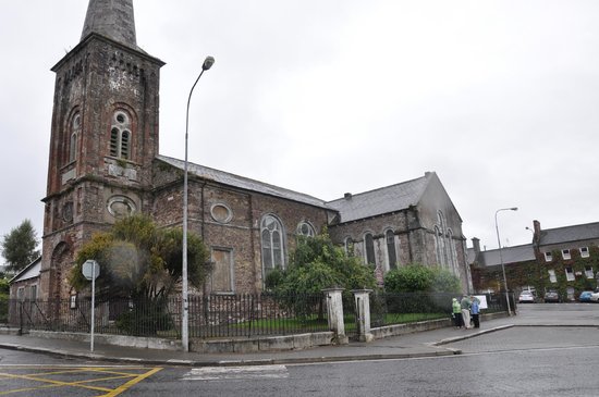 Ardskeagh Church (in Ruins)Church · 13 yd
 Ardskeagh MoatCastle, motte · 546 yd
 BarrowBarrow, ring-barrow · 899 yd
 Fulacht fia in Garrane (fermoy By.)Fulacht fia · 1218 yd
 Glanmore Househouse · 1.1 mi
 Ballymacshaneboy Castle (in ruins)Castle, unclassified · 1.2 mi
 BallinaboolaVisitor information · 1.2 mi
 Caher HillMountain / peak · 2.0 mi
 ToberSpring · 2.1 mi
 Lady's WellSpring · 2.2 mi
 CarrigeenMountain / peak · 2.3 mi
 Holy Cross CemeteryGraveyard · 2.4 mi