What is recorded here
Aerial photograph (GB90.BZ.33) shows cropmark of a ring-ditch. It is plough-levelled. First recorded as a positive cropmark in July 1990.
Compiled by: Dr Gillian Barrett for the Archaeological Survey of Ireland
Date of upload: 26 May 2010
The monument record does not grant public access. Check the route and ask the landowner before entering private land.
- What survives
- Recorded monument
Places near here
 Enclosure in GrangeEnclosure · 182 yd
 Enclosure in SummerhillEnclosure · 871 yd
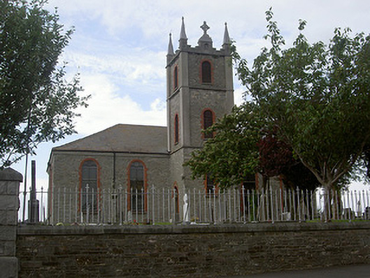 Saint Mary's Catholic Churchchurch/chapel · 1732 yd
 CastleCastle, tower house · 1756 yd
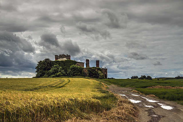 Stephenstown Housecountry house · 1.3 mi
:no_upscale()/cdn.vox-cdn.com/uploads/chorus_asset/file/25593391/County_Louth_6th.jpg) LouthMountain / peak · 1.7 mi
LouthMountain / peak · 1.7 mi Mount AshCastle, motte · 1.8 mi
 Photo GalleryHeritage attraction · 4.5 mi
 Dundalk CentralHeritage attraction · 4.5 mi
 Maid of ErinMemorial · 4.9 mi
 Bombing 1975Memorial · 4.9 mi
 Sky HillMountain / peak · 6.7 mi