
What is recorded here
In tillage. Indicated on the 1st (1839) ed. OS 6-inch map as an oval enclosure and on the 1900 revision only the S arc of the monument is indicated, with a N-S running field boundary skirting the enclosure along its E and W side. It is visible as a cropmark on an aerial photograph (CUCAP ASW034, 17 July 1967) and on satellite imagery (Google Earth, imagery date 14 July 2018). The latter clearly shows a circular enclosure (diam. c. 60m) enclosed by a wide deep fosse (Wth 4-6m), with no apparent gap in the fosse. There is an outer fosse separated from the inner fosse by c. 7m. The SE arc of this outer fosse is wide and deep, similar to the inner fosse, however, the SW arc is narrower and more shallow and there is only a faint suggestion of the fosse continuing in the NW quadrant. A wide fosse (c. 7m) connects the inner and outer fosse in the S sector, this possibly relates to the 18th/19th-century field boundary which is indicated on the 1st ed. OS 6-inch map running S from the S sector. A cropmark of a field boundary (KK021-025002-) runs NE-SW from the inner fosse in the W quadrant, cutting across the narrower outer fosse. Two other cropmarks of field boundaries, running N-S, one through the interior of the E edge of the monument and the other parallel to this, c. 30m to the E, probably relate to 18th/19th cultivation as the more westerly boundary is indicated on the 1st (1839) ed. OS 6-inch map. Another enclosure (KK021-026----) is located c. 120m to the ENE.
See attached satellite image:
KK021-025001-_01 Google Earth (imagery date 14 July 2018)
Compiled by: Jean Farrelly
Date of upload: 21 April 2021
The monument record does not grant public access. Check the route and ask the landowner before entering private land.
- What survives
- Recorded monument
Places near here
 Lady WellWell · 552 yd
 Lord Galmoys Catle (in ruins)Castle, unclassified · 581 yd
 EnclosureEnclosure, large enclosure · 1160 yd
 Catholic Church of the Holy Trinitychurch/chapel · 1262 yd
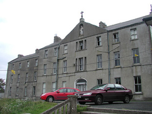 Saint Bridget's Conventconvent/nunnery · 1331 yd
 Site of CastleCastle, unclassified · 1360 yd
 Tinnakeenly BogForest · 3.6 mi
 The Green GardenWood · 3.6 mi
 Tullaherin Church and Round TowerVisitor information · 6.2 mi
 St. Mogarra’s WellSpring · 6.3 mi
 Kilbline GraveyardArchaeological place · 7.2 mi
 Time CapsuleMemorial · 7.6 mi
Other information
Photo: Credit not shown in the picture search · Rights wording not checked; contact us if this picture should be removed