What is recorded here
Indicated is a faded ringfort in County Kildare, its twenty-six-metre circle marked only by a shallow four-metre ditch on a gentle pasture slope. It appeared as an enclosed copse on the 1838 map but became an ordinary stand of trees by 1911, suggesting a forgotten household or decorative garden may have transformed the old defensive earthworks. The loss of its boundary did not erase the shape; it merely returned the fort to the landscape as a quiet circular absence.
On a gentle N-facing pasture slope. Shown on the 1st ed. (1838) of the OS 6-inch as an enclosed tree copse, but represented as an unenclosed stand of trees on the latest ed. (1911) of the map. A poorly preserved circular area (int. diam. 26m) is defined by a shallow fosse (Wth c. 4m; D 0.3m). It may have been an ornamental landscape feature, but its siting suggests that an existing ringfort might have been adapted to that purpose.
Compiled by: Gearóid Conroy
Date of upload: 10 June 2011
The monument record does not grant public access. Check the route and ask the landowner before entering private land.
- What survives
- Recorded monument
Places near here
 Church (Site of)Church · 783 yd
 Enclosure in Newtown (cloncurry Ed)Enclosure · 1062 yd
 Catholic Church of the Nativity of the Blessed Virgin Marychurch/chapel · 1508 yd
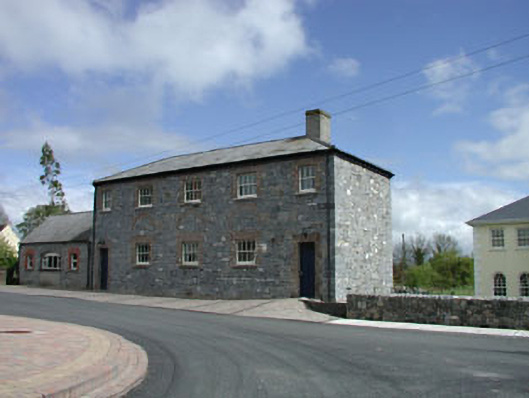 Newtown National Schoolschool · 1510 yd
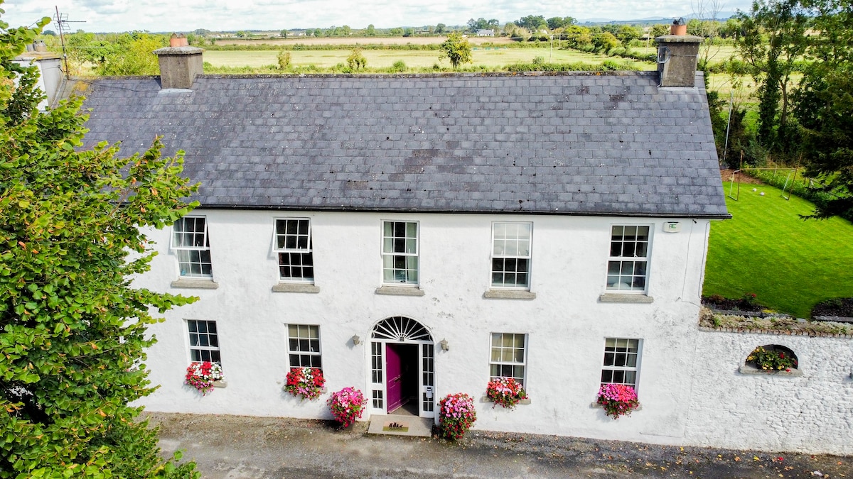 Bawn in PitchfordstownBawn · 1.9 mi
 Old Bog Road made famous by Teresa Bryton 1868-1943Memorial · 2.2 mi
 MoatCastle, motte · 2.2 mi
 European ashEuropean ash · 2.2 mi
 Mass was there in Penal TimesMemorial · 2.5 mi
 Cloncurry GraveyardHeritage attraction · 2.8 mi
 Kilgar GardensHeritage attraction · 2.9 mi
 Loughtown CovertWood · 3.9 mi