What is recorded here
Indicated is a vanished Mayo ringfort whose shallow outline still braces the western slope, even though the central enclosure disappeared before 1920. The land may have worn or been deliberately levelled, yet the boundary remained large enough to be seen and different enough to resist forgetting. That is the ordinary magic of a rath: it stops being a building and becomes a claim on memory.
In pasture, located on a prominent rise, with a pronounced fall of ground at W−N, and a more gradual slope at E. There are fine views over the surrounding lowying grassland.
A circular embanked enclosure (diam. c. 20-25m) is shown on the 1838 OS 6-inch map; it is not shown on the 1920 edition. The enclosure has been levelled. A faint subcircular or oval outline (diam. 30-35m), merging with the natural slopes of the rise, is still evident at ground level, bisected to W of centre by N−S field wall. The E half of the perimeter can be traced as a slight semicircular scarp or undulation; the W arc is less clearly defined, but a curving undulation is visible at NW.
Compiled by: Jane O'Shaughnessy
Date of upload: 7 July 2020
The monument record does not grant public access. Check the route and ask the landowner before entering private land.
- What survives
- Recorded monument
Places near here
 IndicatedEnclosure · 1137 yd
 Enclosure in Lavy MoreEnclosure · 1383 yd
 Cloonfane National Schoolschool · 1714 yd
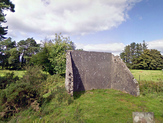 handball alleyhandball alley · 1.0 mi
 Old Cave Burial GroundArchaeological place · 2.9 mi
 Bockagh HillMountain / peak · 5.6 mi
 Casatle (ruins)Castle, unclassified · 7.1 mi
 Crunaun Castle (in ruins)Castle, unclassified · 7.6 mi
 East Mayo Brigade MonumentMemorial · 8.2 mi
 Thorn CaveCave · 11 mi
 Lough Talt TrailVisitor information · 12 mi
 Crow IslandIslet · 12 mi