What is recorded here
At the break between uplands and gentle side of valley to the W, in rolling grassland. There are good views in all directions, except to the W where hills rise. Indicated on the 1st (1839) ed. OS 6-inch and on the 1900 revision as a sub-circular enclosure (diam. c. 48m N-S; c. 50m E-W on 25-inch OS map) with the bank in the SE and SW sectors being straight. The monument has been levelled and is not visible at ground level. Modern farm buildings now occupy the southern portion.
Compiled by: Jean Farrelly
Date of upload: 26 January 2018
The monument record does not grant public access. Check the route and ask the landowner before entering private land.
- What survives
- Recorded monument
Places near here
 Enclosure in GorteennahillaEnclosure · 651 yd
 Enclosure in GorteennamuckEnclosure · 952 yd
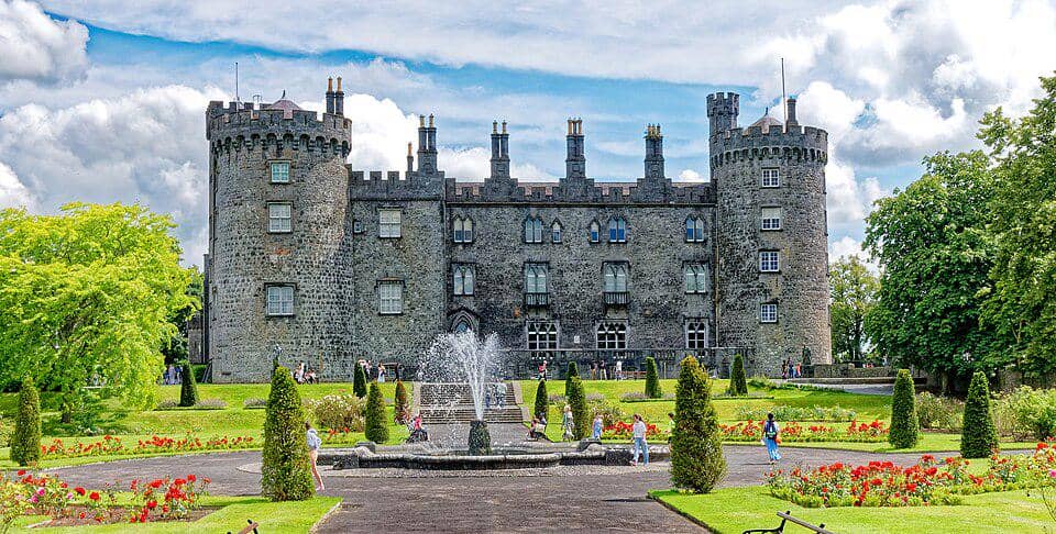 CastleCastle, unclassified · 1437 yd
 Church (in ruins)Church · 1483 yd
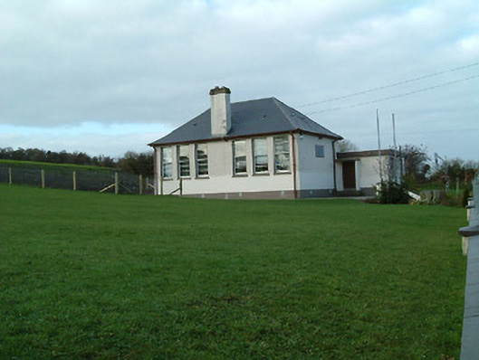 Creenkill National Schoolschool · 1681 yd
 Street fieldArchaeological place · 1.7 mi
 Glashare CastleCastle, tower house · 1.8 mi
 Clomantagh HillMountain / peak · 3.2 mi
 DelaneyMemorial · 4.0 mi
 John HelyMemorial · 4.0 mi
 The CopseWood · 4.9 mi
 Anker's IslandIsland · 5.4 mi