
What is recorded here
On a S-facing slope with a small glen running N-S along the E side, below the crest of a hill which is occupied by a ringfort (KK009-005----), in pasture. There is another ringfort (KK009-006----) visible on the hilltop 360m to the NE. View is blocked by the crest of the hill to the N and is limited to the E and S, however, there is an extensive view to the W. Identified on aerial photographs (ASIAP (24) 4-6, 2 August 1996; ASIAP (174) 33, 36 and (176), 19, 3 March 2001). An oval enclosure (dims. 60m NE-SW; 42.8m NW-SE) defined by a bank (Wth at crest 0.9-1.4m; overall Wth 3.8-5m; int. H 0.05-1.1m; ext. H 0.1-0.8m) with a high stone content. Being on a slope the bank is higher above the interior and lower above the exterior upslope to the N and the opposite is the case downslope to the S. The bank is much denuded in the SE sector where the interior slopes to the SE and continues to slope beyond the monument to a spring 24m to the ESE in the small glen. A field boundary runs N-S through the monument and, while it is not recent in date, it post-dates the enclosure. There are two small low mounds in the interior, one in the N quadrant and one in the S (dims. 6m x 3m; H 0.45m), though the later N-S field boundary runs over it.
Compiled by: Jean Farrelly
Date of revised upload: 14 May 2018
The monument record does not grant public access. Check the route and ask the landowner before entering private land.
- What survives
- Recorded monument
Places near here
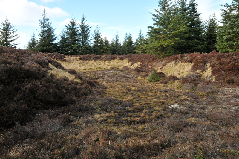 Gravel PitEnclosure, large enclosure · 755 yd
 Holy well in GorteennamuckHoly well · 938 yd
 Mill (in ruins)Water mill, unclassified · 1078 yd
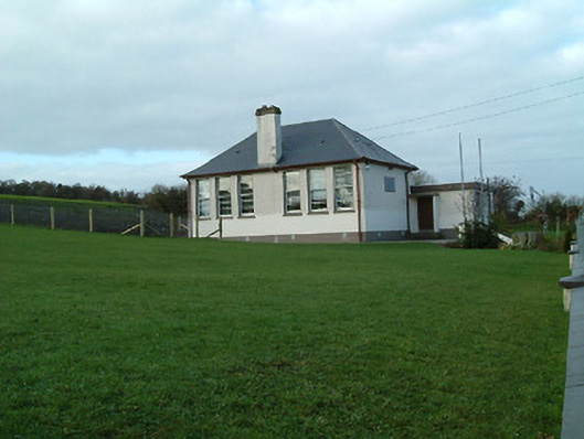 Creenkill National Schoolschool · 1499 yd
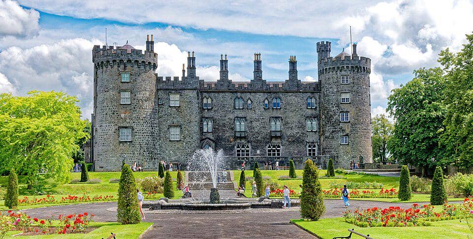 CastleCastle, unclassified · 1759 yd
 Street fieldArchaeological place · 1.3 mi
 Glashare CastleCastle, tower house · 1.5 mi
 Clomantagh HillMountain / peak · 2.8 mi
 DelaneyMemorial · 3.4 mi
 John HelyMemorial · 3.5 mi
 The CopseWood · 4.9 mi
 Anker's IslandIsland · 6.0 mi
Other information
Photo: Credit not shown in the picture search · Rights wording not checked; contact us if this picture should be removed