What is recorded here
A circular ring-ditch visible as a crop mark on an aerial photograph together with other features that could indicate a possible field system (ME028-079----) and an enclosure (ME028-078----) (SMR file; pers. comm. T. Condit). A possible habitation site (ME028-051----) is also located in this field.
Compiled by: David O’Connor
Date of upload: 4 November 2013
The monument record does not grant public access. Check the route and ask the landowner before entering private land.
- What survives
- Recorded monument
Places near here
 Enclosure in GormanstonEnclosure · 198 yd
 Gormanston Railway Stationrailway station · 609 yd
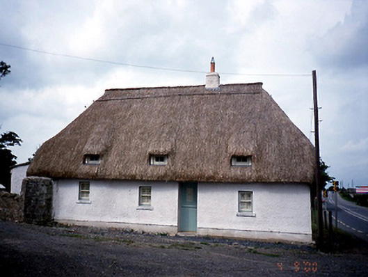 Knocknagin Cottagehouse · 633 yd
 European YewEuropean Yew · 857 yd
 Ring-ditch in KnocknaginRing-ditch · 895 yd
 Gormanston CastleCastle · 977 yd
 SycamoreSycamore · 1143 yd
 Ben HeadCliff · 1.4 mi
 CastleHouse, fortified house · 1.8 mi
 Clonard SpringSpring · 2.0 mi
 Balbriggan Tourist OfficeVisitor information · 2.4 mi
 Balrothery Heritage CentreMuseum · 3.6 mi