
What is recorded here
Fairy fort / ringfort in Gneevebane is a fairy fort or ringfort in Gneevebane, County Westmeath, Ireland. The site sits on high ground with good views to the north, where no surface remains are visible of this levelled monument. It appears as a circular enclosure measuring approximately 30 metres north to south and 35 metres east to west on all editions of the Ordnance Survey 6-inch maps. A cropmark of the possible ringfort is visible on a 2005 aerial photograph.
Situated on high ground with good views to the N, ringfort possible (WM033-057----) located 10m to the NW. No surface remains visible of this levelled monument which is depicted as a circular enclosure (diam. c. 30m N-S; 35m E-W) on all editions of the OS 6-inch maps. Depicted as a circular enclosure on the OS fair plan map where it is annotated as a 'fort' (SMR File). Cropmark of possible ringfort visible on 2005 OSI aerial photograph.
Compiled by: Caimin O'Brien
Date of upload: 08 July 2013
The monument record does not grant public access. Check the route and ask the landowner before entering private land.
- What survives
- Recorded monument
Places near here
 Partially indicatedFairy fort / earthen ringfort · 540 yd
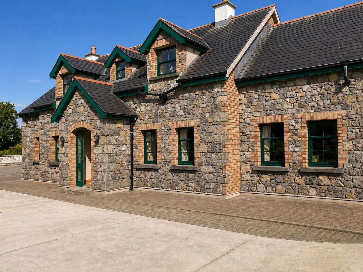 Partially HachuredFairy fort / earthen ringfort · 612 yd
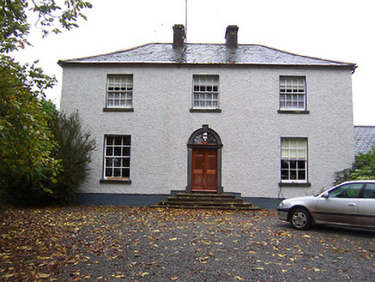 Far View Househouse · 1512 yd
 CastleCastle, hall-house · 1713 yd
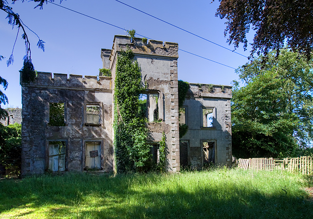 Newcastle Househouse · 1722 yd
 Castlelost MoatCastle, motte and bailey · 1.4 mi
 Derrygreenagh HillMountain / peak · 3.7 mi
 Knockdrin HillMountain / peak · 4.7 mi
 Croghan HillMountain / peak · 4.7 mi
 Finnrenashark Holy WellSpring · 4.9 mi
 Ardan WoodWood · 5.0 mi
 Croghan Hill WalkVisitor information · 5.0 mi
Other information
Photo: Credit not shown in the picture search · Rights wording not checked; contact us if this picture should be removed