What is recorded here
Situated on a slight natural rise in gently undulating terrain, sloping to the W. Depicted as a circular enclosure on both the 1st and latest ed. OS 6-inch maps. The site is badly damaged - the enclosing bank and scrub have been pushed into the interior and the centre of the site is occupied by trees. Portion of a possible bank (Wth 2m; ext. H 1.12m) is visible at N only. No other features visible.
The above description is derived from 'The Archaeological Inventory of County Tipperary. Vol. 1 - North Tipperary' compiled by Jean Farrelly and Caimin O'Brien (Dublin: Stationery Office, 2002). In certain instances the entries have been revised and updated in the light of recent research.
Date of upload/revision: 22 September 2008
The monument record does not grant public access. Check the route and ask the landowner before entering private land.
- What survives
- Recorded monument
Places near here
 Enclosure in LisnagroughEnclosure · 551 yd
 LisnagroughFairy fort / earthen ringfort · 768 yd
 Church Househouse · 1741 yd
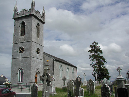 Holycross Churchchurch/chapel · 1.0 mi
 IndicatedBawn · 1.1 mi
 Beakstown HouseCastle, unclassified · 1.2 mi
 Cormackstown Heritage CentreMuseum · 1.3 mi
 Killough Hill (site of)Mountain / peak · 3.6 mi
 Wildlife CorridorWood · 3.6 mi
 Lár na PáirceMuseum · 3.9 mi
 WoodlandWood · 3.9 mi
 KnockaneMountain / peak · 4.1 mi