What is recorded here
In pasture, on a steep SE-facing slope with excellent views ENE-SW. Circular area (diam. c. 45m) depicted on latest edition OS 6-inch map bisected by field boundary (long-axis NE-SW). Trace of semi-circular area (dims. c. 26m NE-SW; 10m NW-SE) defined by levelled bank reduced to scarp (Wth 8m; H 0.9m) ENE-S. Interior slopes down steeply to SE with prevalent slope and is incorporated into rest of field as pasture.
Compiled by: Jean Farrelly
Date of upload: 26 August 2011
The monument record does not grant public access. Check the route and ask the landowner before entering private land.
- What survives
- Recorded monument
Places near here
 KnockahunnaMountain / peak · 1500 yd
 SheegounaMountain / peak · 1.2 mi
 Drummon Bridgebridge · 1.4 mi
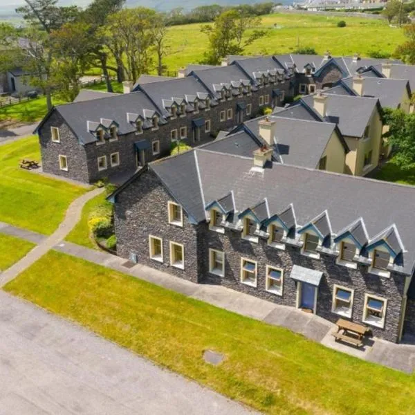 Enclosure in Ballydavid (kilvemnon Par.),kylawillingEnclosure · 2.2 mi
 Whitehall Bridgebridge · 2.2 mi
 European ashEuropean ash · 2.3 mi
 Silver FirSilver Fir · 2.3 mi
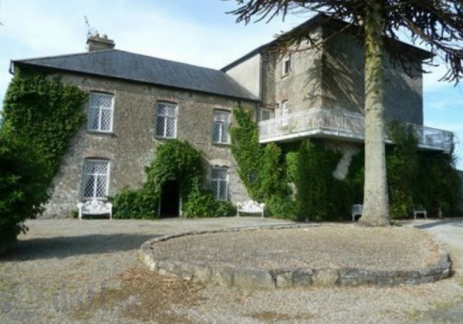 Enclosure in KnockrathkellyEnclosure · 2.4 mi
 The SpoutMemorial · 2.8 mi
 Carrigaloe RockNamed rock · 2.9 mi
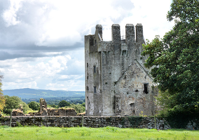 Bawn in KilcashBawn · 3.6 mi
 Kilcash Castle (in ruins)Castle, tower house · 3.6 mi