What is recorded here
Situated N of a stream in pasture. Excavated in 2007 in advance of the N9/N10 Kilcullen to Waterford road improvement scheme (Licence no. E3386). A subcircular pit (L 3.1m; Wth 2m; max. D 0.1m) oriented E-W with partial stone lining along the E edge. The fill comprised a black, loose sandy clay with frequent inclusions of charcoal and small heat-shattered angular stones. A sample from the pit yielded a date of 1056-923 cal BC (UBA-10490). Two smaller undated pits were located c. 10m to the E. (Monteith 2010a, 246, no. 925; 2010b)
Compiled by: Mary Tunney
Date of upload: 3 December 2013
The monument record does not grant public access. Check the route and ask the landowner before entering private land.
- What survives
- Recorded monument
Places near here
 IndicatedPenal Mass station · 367 yd
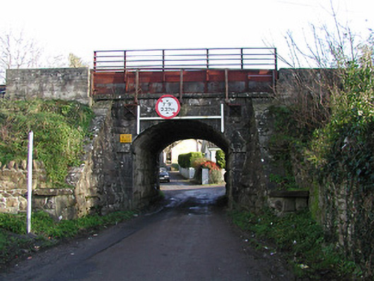 bridgebridge · 481 yd
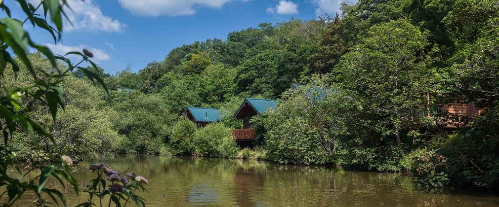 Deerpark Ringfort (rath)Archaeological place · 670 yd
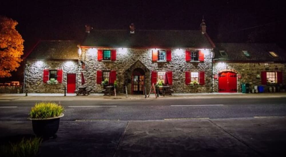 Enclosure in Garrandarragh (knocktopher By.)Enclosure · 1097 yd
 Clonassy WoodForest · 1485 yd
 CastleCastle, unclassified · 1503 yd
 Poulanassy WaterfallWaterfall · 1.3 mi
 Tory HillMountain / peak · 1.8 mi
 Rochestown Castle (Site of)Castle, unclassified · 1.9 mi
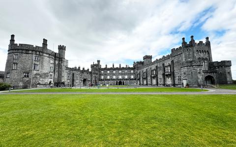 Ballynaboley WoodForest · 3.4 mi
 Portlaw Heritage CentreMuseum · 8.1 mi
 Tower HillMountain / peak · 8.2 mi