What is recorded here
RATH in Glen marks an ancient fortified camp in County Fermanagh, where a solid earth bank would have excluded strangers and included kin. The official record offers no more than a name, a point and a kind, yet the absence completes the shape. A Rath is a boundary drawn by human hands, and a boundary is a claim that the world can be entered, changed and remembered.
The official Northern Ireland record identifies this as RATH. Recorded period: E.CHRIST.. The official map point was placed at the centre of the recorded archaeological site from the source map reference.
The monument record does not grant public access. Check the route and ask the landowner before entering private land.
- What survives
- Recorded monument
Places near here
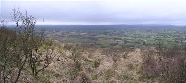 Brougher MountainMountain / peak · 1.3 mi
 Pubble ForestForest · 2.5 mi
 OVAL ENCLOSURE in PubbleOVAL ENCLOSURE · 2.7 mi
 LARGE HILLTOP ENCLOSURE: CROCKROE in KilknockLARGE HILLTOP ENCLOSURE: CROCKROE · 3.1 mi
 Christ Church (CoI)Church · 3.4 mi
 St. Mary's RC ChurchChurch · 3.6 mi
 Topped MountainMountain / peak · 3.7 mi
 MULTIPERIOD CHURCH & GRAVEYARD in MagheracrossMULTIPERIOD CHURCH & GRAVEYARD · 4.1 mi
 C17th DEFENDED HOUSE & BAWN: TRILLICK CASTLE in Castlemervyn DemesneC17th DEFENDED HOUSE & BAWN: TRILLICK CASTLE · 4.2 mi
 CASTLE (unlocated) in DrumkeenCASTLE (unlocated) · 5.0 mi
 Doocarn WoodWood · 5.3 mi
 "Fivemiletown Deli" G8 Virtual ShopHeritage attraction · 6.5 mi