What is recorded here
Five huts once crowded the small cashel on Mount Eagle, but sheep and time chewed them into one stubborn fold. The surviving chamber keeps its corbelled stone and narrow entrance, yet a modern wall has replaced half its ancient curve. Humans likely built the ring for residence or refuge, while fairy labels appear in local tradition. The field walls may still trace the lost boundary, preserving a shape that ownership and memory have repeatedly rewritten.
Cathair Bheag na Máirtíneach: This site lies on the S slopes of Mount Eagle about 75m W of Cathair na Máirtíneach. It formerly consisted of a circular enclosure containing 5 huts, but very little now remains. The circular enclosure shown on the 1st edition of the OS maps has for the most part been replaced by field walls which may follow the line of the original enclosing wall. On the N side the site is defined only by a difference in ground level between it and the surrounding field.
Windele (1848, 481) noted 5 huts within this cashel but only 3 are marked on the OS maps. By 1899 (Macalister; 250) there were substantial remains of only 1 hut but there were traces of others. The surviving hut has been modified and rebuilt for use as a sheep-fold or shelter. It was probably originally circular, but its E half is virtually destroyed and a straight modern wall now defines this side. It measures 3.5m N-S x 2.3m E-W internally, but was originally c. 4.5m in diameter. The W wall is probably original but it has obviously been heightened in relatively recent times. It is of corbelled drystone construction and is a maximum of 1.9m high. The present outer face rises 1.3m above a basal mound which may be the remains of an earlier wall; it is possible that the entire outer face has been rebuilt. The entrance faces SE and is .7 to .8m wide. A lintelled recess in the wall opposite the entrance measures .32m x .21m x .4m deep. The 2nd recess noted by Macalister is no longer evident. The wall leading up to the SW side of the entrance on the outside may be a late feature, erected to help herd sheep into the fold. Macalister noted traces of another clochaun to E of hut (1) and though this area is now obscured by field clearance debris, the connecting passage between the 2 huts is still discernible.
The above description is derived from J. Cuppage, ‘Corca Dhuibhne. Dingle Peninsula archaeological survey. Ballyferriter. Oidhreacht Chorca Dhuibhne’ (1986), no. 569. In certain instances the entries have been revised and updated in the light of recent research.
Date of upload: 7 August 2013
A local fairy fort (ringfort/rath) associated with the early-medieval Cathair Bheag na Máirtíneach, likely dating to the 6th–10th centuries. The name and context suggest a connection to the "Little Fort of the Martins," possibly referencing a monastic or secular settlement, with folklore potentially linked to fairy or supernatural traditions common in such sites.
The monument record does not grant public access. Check the route and ask the landowner before entering private land.
- What survives
- Recorded monument
Places near here
 Enclosure in Gleann FánEnclosure · 133 yd
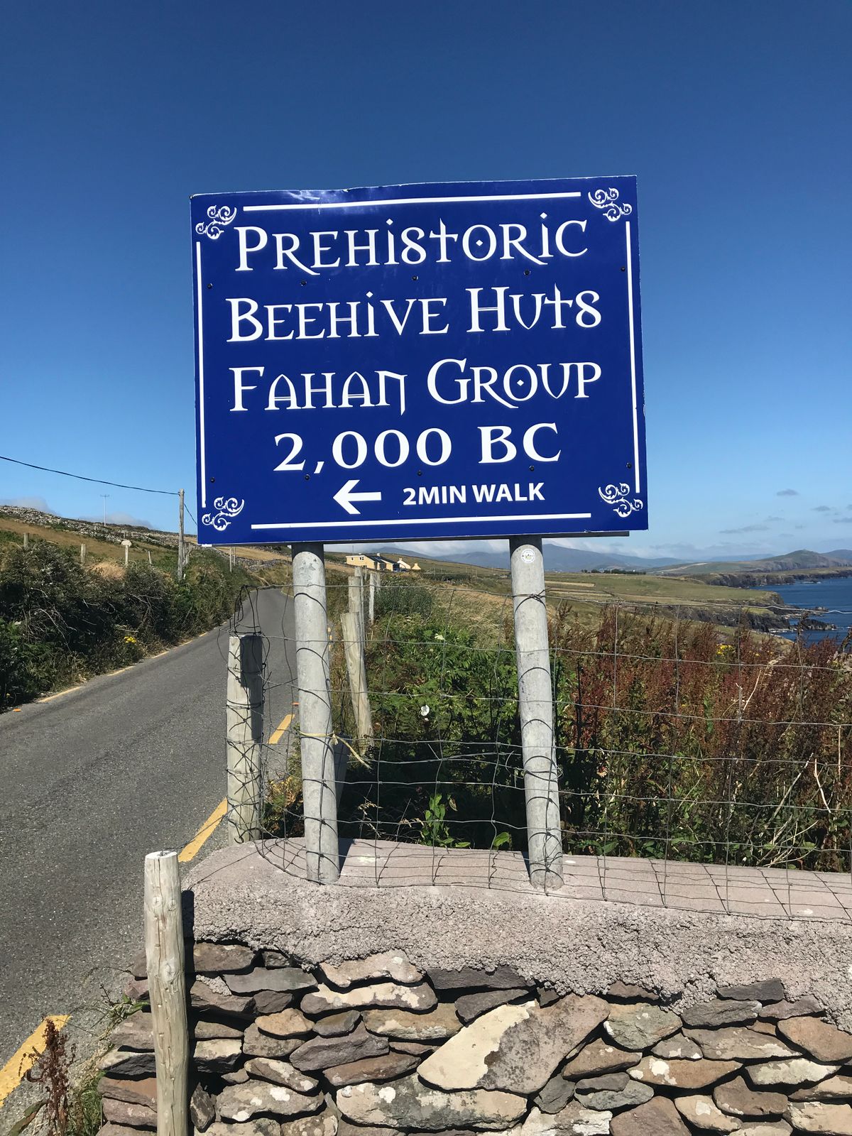 Fahan Beehive HutsHeritage attraction · 217 yd
 Man-made underground passage in Gleann FánMan-made underground passage · 442 yd
 Clochán MórHeritage attraction · 948 yd
 Binn an ChomaMountain / peak · 1399 yd
 Sliabh an IolairMountain / peak · 1.1 mi
 Ceann SléibheHeadland · 1.3 mi
 Traigh an ChomaBeach / strand · 1.7 mi
 Faill BearnaiscCliff · 1.8 mi
 Church in Baile An GhleannaChurch · 2.0 mi
 Church in Cill Ura ThoirChurch · 2.1 mi
 Dunmore HeadViewpoint · 2.3 mi