
What is recorded here
In reclaimed pasture, on the SW-facing slopes of Sliabh an Iolair and overlooking Dingle Bay. Indicated as a semicircular hachured area (diam. c. 70m) SE-NW on the 1895 OS 6-inch map. The field boundaries indicated on that map to the W and S of the possible enclosure have been removed. No remains of the possible enclosure are visible at ground level.
The monument record does not grant public access. Check the route and ask the landowner before entering private land.
- What survives
- Recorded monument
Places near here
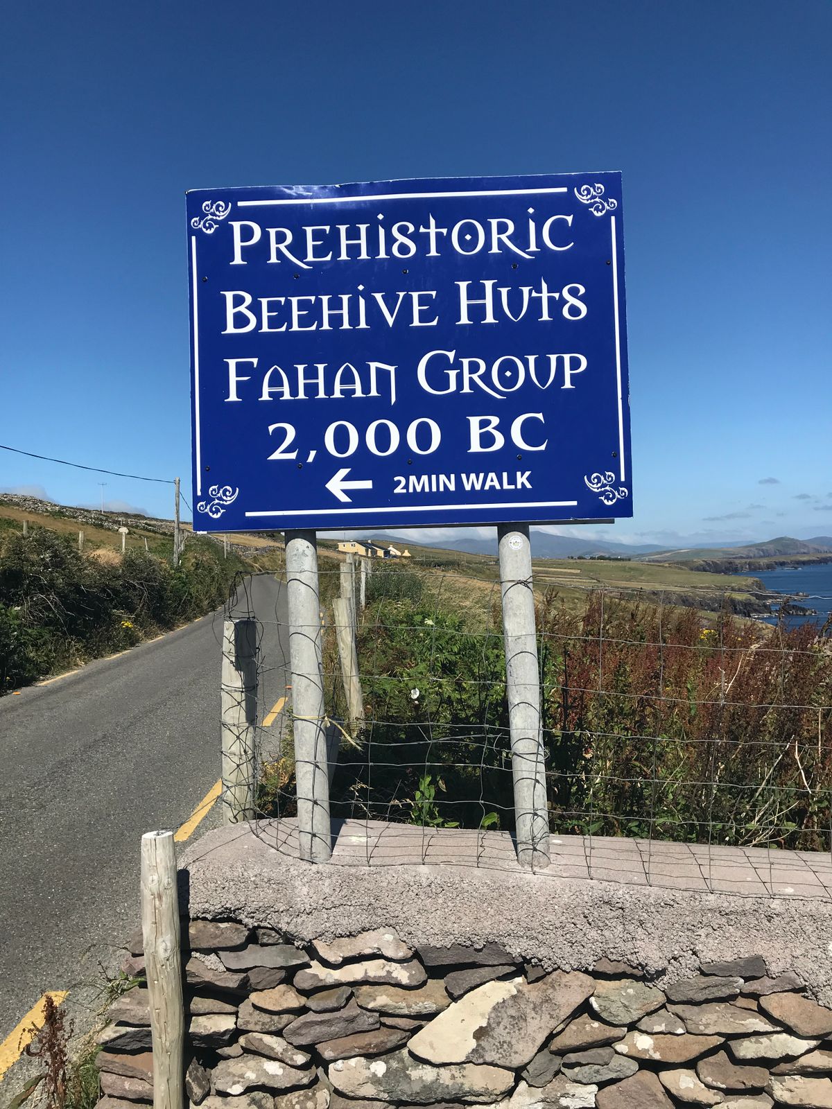 Fahan Beehive HutsHeritage attraction · 285 yd
 Man-made underground passage in Gleann FánMan-made underground passage · 397 yd
 CloghaunsFairy fort / stone ringfort · 504 yd
 Clochán MórHeritage attraction · 815 yd
 Binn an ChomaMountain / peak · 1313 yd
 Sliabh an IolairMountain / peak · 1.1 mi
 Ceann SléibheHeadland · 1.2 mi
 Traigh an ChomaBeach / strand · 1.6 mi
 Faill BearnaiscCliff · 1.8 mi
 Church in Baile An GhleannaChurch · 2.0 mi
 Church in Cill Ura ThoirChurch · 2.1 mi
 Dunmore HeadViewpoint · 2.2 mi
Other information
Photo: Credit not shown in the picture search · Rights wording not checked; contact us if this picture should be removed