What is recorded here
In rough pasture strewn with glacial erratics, on a SE-facing slope overlooking the valley of the Glanrastel River. Ruins of a rectangular gable-ended structure (6.75m NE-SW; 2.7m NW-SE) built of random rubble. The NW wall is formed by the vertical face of a large glacial erratic (H 3.7m). The built walls are 0.7m thick and survive to a maximum height of 3.5m at the NE gable. A lintelled door ope is close to the centre of the SW wall; a blocked window ope is at the centre of the SE wall.
Compiled by: Elizabeth Byrne, Ursula Egan and Sheila Ronan, Archaeological Survey Unit, University College, Cork.
Date of upload: 30 May 2011
The monument record does not grant public access. Check the route and ask the landowner before entering private land.
- What survives
- Recorded monument
Places near here
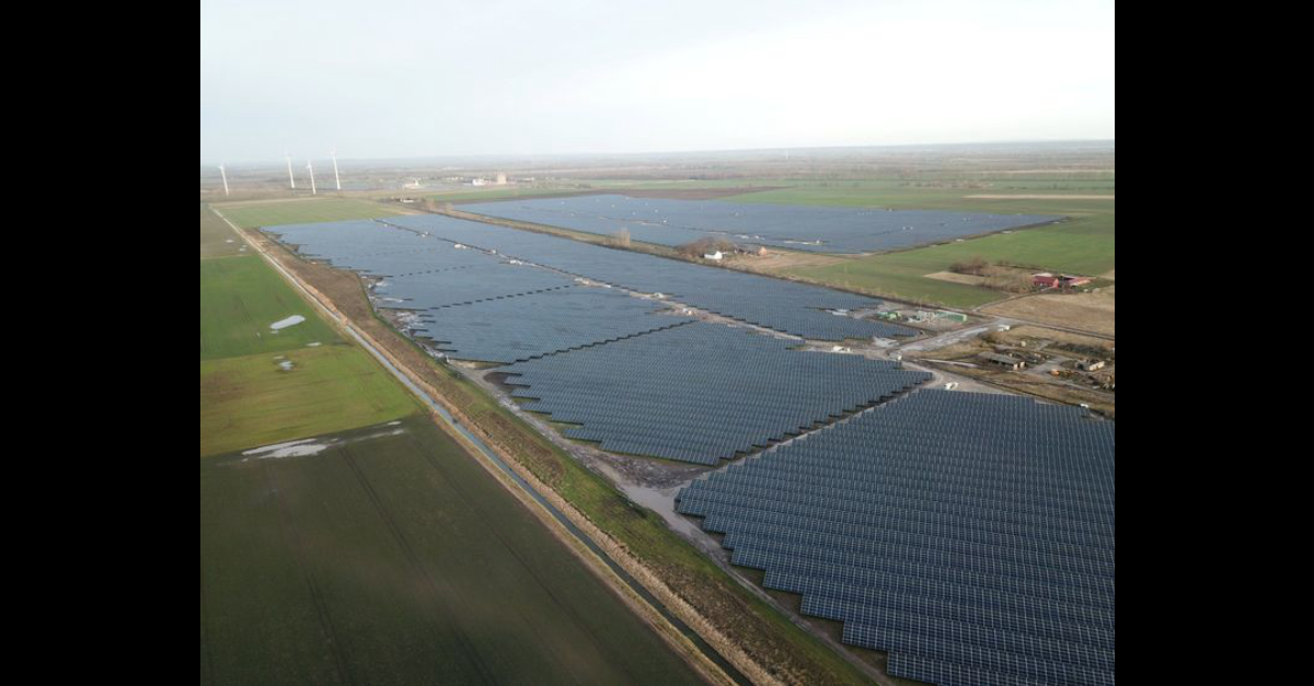 Field system in GlanrastelField system · 191 yd
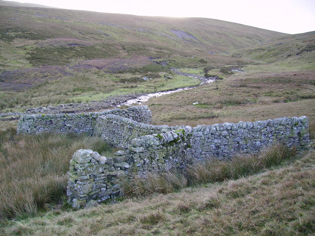 SheepfoldEnclosure · 869 yd
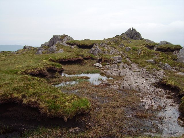 KnockowenMountain / peak · 1491 yd
 DroppaCliff · 1.5 mi
 KnockastumpaMountain / peak · 1.6 mi
 Clogherane Br.Bridge · 1.8 mi
 Elistragh Br.Bridge · 1.8 mi
 Duck RockIslet · 2.6 mi
 IllaunateeIslet · 2.6 mi
 New Zealand broadleafNew Zealand broadleaf · 3.0 mi
 Japanese cedarJapanese cedar · 3.1 mi
 Old Stone CottagesHeritage attraction · 3.7 mi