What is recorded here
Situated in a slight col between the summit of Carrigroe Hill c. 300m to the E and slightly higher ground c. 400m to the W. This is a subrectangular stone cairn with a light covering of earth (dims. 5m E-W; 4.6m N-S; H 0.7m). It is located in a coniferous forest.
The above description is derived from the published 'Archaeological Inventory of County Wexford' (Dublin: Stationery Office, 1996). In certain instances the entries have been revised and updated in the light of recent research.
Compiled by: Michael Moore
Date of upload/revision: 21 May, 2012
Subrectangular stone cairn, likely dating to the Bronze Age. Its location suggests a possible funerary or ritual function within a prehistoric landscape.
The monument record does not grant public access. Check the route and ask the landowner before entering private land.
- What survives
- Recorded monument
Places near here
 Carrigroe HillMountain / peak · 330 yd
 Giants BedNamed rock · 589 yd
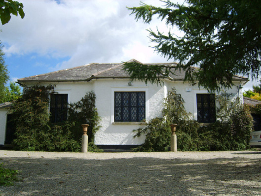 Ballymore Parochial Schoolschool · 966 yd
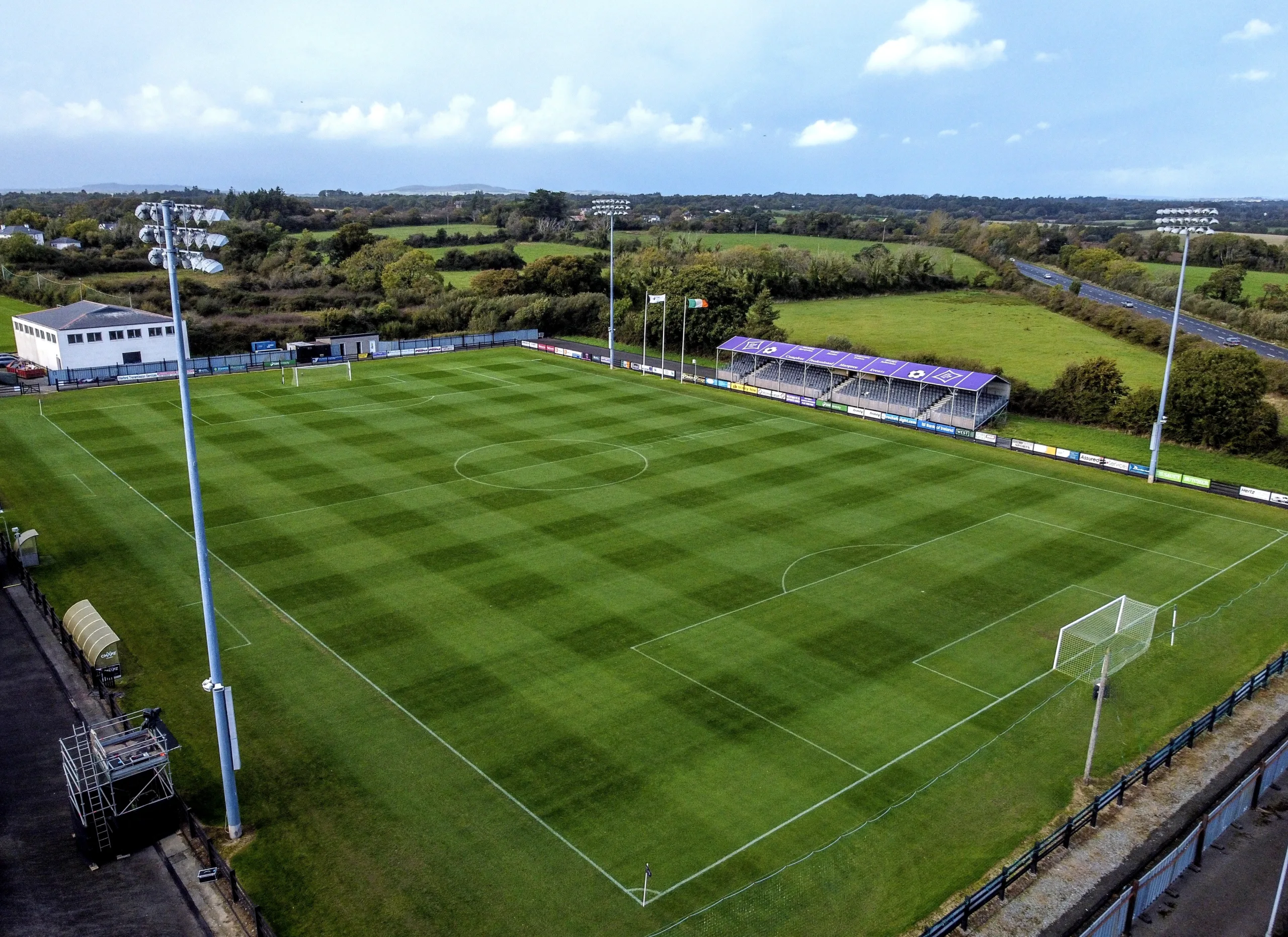 Fulacht fia in Ballymore (scarawalsh By.)Fulacht fia · 1152 yd
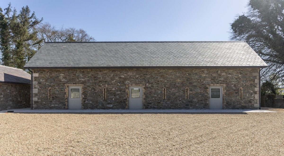 Enclosure in Ballymore DemesneEnclosure · 1483 yd
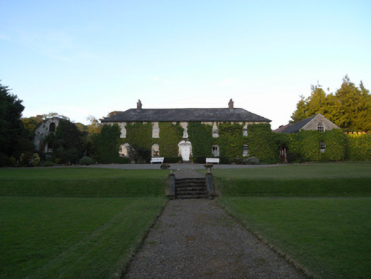 Rockspring Housefarm house · 1557 yd
 The GroveWood · 1.3 mi
 The CoilWood · 1.3 mi
 Milshoge RockMountain / peak · 1.8 mi
 Father Murphy CentreHeritage attraction · 2.8 mi
 Ferns Castle (in ruins)Castle, Anglo-Norman masonry castle · 4.5 mi
 Bird BoxesVisitor information · 4.6 mi