What is recorded here
Number 27 on the county list. That is all the facts provided. The quiet fort waits behind its bank, ready to show itself through the numbers and local memory.
Situated at the NW end of a NW-SE ridge. This is a subcircular or subrectangular and domed (H 2m to E; 4m to W) grass and scrub-covered area (dims 52m E-W; c. 35-45m N-S) defined by an earthen bank (at E: Wth of base 4.5m; int. H 0.5m; ext. H 1.3m) and an overgrown outer fosse (Wth of top 4-6m; Wth of base 1.5m; int. D 1.3m; ext. D 1.5m) NE-SE across the ridge, and by an overgrown scarp (at W: H 0.5m) that blends into the slope elsewhere. There is an entrance causeway (Wth of top 1m; H 1.1m) at E. The perimeter at N and S has evidence of old quarry excavations.
The above description is derived from the published 'Archaeological Inventory of County Meath' (Dublin: Stationery Office, 1987). In certain instances the entries have been revised and updated in the light of recent research.
Compiled by: Michael Moore
Date of revision: 10 January 2019
Amended: 23 March 2023
The monument record does not grant public access. Check the route and ask the landowner before entering private land.
- What survives
- Recorded monument
Places near here
 IndicatedFairy fort / ringfort · 1066 yd
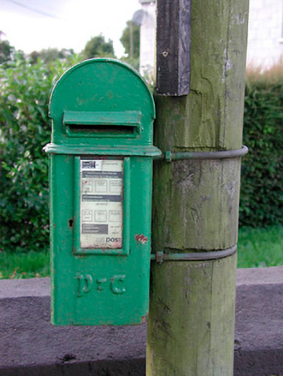 post boxpost box · 1252 yd
 Fairy fort / ringfort in KilgarFairy fort / ringfort · 1414 yd
 Bradley's WoodWood · 1.0 mi
 Archerstown Church in ruinsChapel · 1.1 mi
 Kells HillMountain / peak · 1.2 mi
 Bawn in ArcherstownBawn · 1.3 mi
 The Keeper's FieldForest · 1.5 mi
 MoatCastle, motte and bailey · 1.6 mi
 The Sloe HillMountain / peak · 1.7 mi
 Zip WireHeritage attraction · 4.6 mi
 LoughcrewMegalithic tomb cemetery · 4.9 mi