What is recorded here
On seafront on 1842 OS 6-inch map, at N end of Youghal; land to E reclaimed inlate 19th century. Rectangular structure (int.: 17.2m E-W; 7.3m N-S) built of coursed sandstone; slate roof half-hipped to E, gabled to W. Segmentally-shaped gables with limestone coping. W elevation has 3 tall blocked brick arches (H c. 8m) with 3 oculi overhead; similar oculi on E elevation. Date of 1830 marked with metal numbers on W elevation. Internally part of W and S wall lined with brick; some pipe-fittings running full length of building survive. Shorter and wider roofless structure to S with similar segmentally-shaped gables. Short stone-built extension to N. Demolished late 1980s.
The above description is derived from the published 'Archaeological Inventory of County Cork. Volume 2: East and South Cork' (Dublin: Stationery Office, 1994). In certain instances the entries have been revised and updated in the light of recent research.
Date of upload/revision: 14 January 2009
The monument record does not grant public access. Check the route and ask the landowner before entering private land.
- What survives
- Recorded monument
Places near here
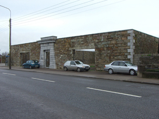 The Bridewellprison/jail · 80 yd
 Church in Youghal-LandsChurch · 166 yd
 European YewEuropean Yew · 442 yd
 English hollyEnglish holly · 459 yd
 Collegiate Church of Saint MaryHeritage attraction · 500 yd
 Our Lady's CollegeMemorial · 520 yd
 Tynte's CastleCastle · 529 yd
 G YdGraveyard · 572 yd
 Town WallHeritage attraction · 589 yd
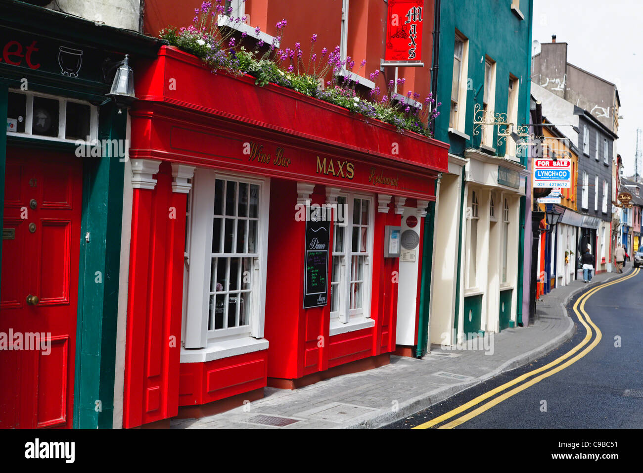 Store Street & New Catherine StreetVisitor information · 646 yd
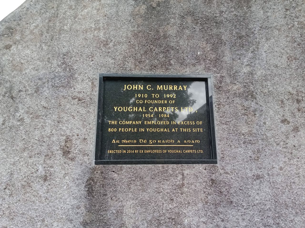 John C. MurrayMemorial · 673 yd
 CrossCross, Market cross · 676 yd