What is recorded here
On a gentle NE-facing slope of glacial till that leads down to the Monefelim River. Excavated in 2008 in advance of the N9/N10 Kilcullen to Waterford road improvement scheme (Licence no. E3852). A large arc of 37 post and stake-holes defining an area 12m in diameter. One sherd of pottery was identified as Early Neolithic. Burnt bone was recovered from a number of internal features possibly representing pyre activity. Two cremation pits (KK021-045---- and KK021-046----) containing human remains were found c. 5m to the W of the enclosed area and a possible cooking pit was located to the E. A second arc of post-holes (KK021-044----) c. 15 to the S represents a second structure that may extend beyond the excavated area. A number of pits were located between the two structures but it could not be established if they were related. (Devine and Zimny 2009; Devine 2010, 245-6, 923)
Compiled by: Mary Tunney
Date of upload: 3 December 2013
The monument record does not grant public access. Check the route and ask the landowner before entering private land.
- What survives
- Recorded monument
Places near here
 Church in KilmacahillChurch · 530 yd
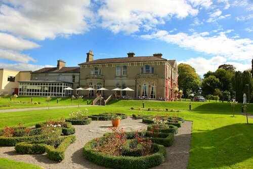 Enclosure in PaulstownEnclosure · 752 yd
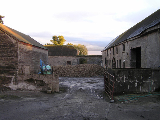 Mountrothe Housefarmyard complex · 1337 yd
 IndicatedGraveyard · 1.1 mi
 The Green GardenWood · 1.7 mi
 Site of CastleCastle, unclassified · 2.4 mi
 Freneystown CastleCastle, tower house · 2.4 mi
 Church (in ruins), GraveyardChurch · 3.2 mi
 HawthornHawthorn · 3.3 mi
 St. Mogarra’s WellSpring · 3.9 mi
 Lock Keeper's House and Lodge MillsVisitor information · 4.4 mi
 The Columban WayVisitor information · 4.8 mi