What is recorded here
Indicated is a vanished graveyard in County Kilkenny where interments continued within living memory, yet no monuments or clear boundary remain. The church still sits inside a faint rath-like quadrangle, facing east across a west-facing slope while a hidden stream runs nearby. Tradition claims a Mass Path led from the grounds toward a bridge to the northwest, suggesting people still walked there in darkness or distance. What is missing is not evasion; it is the shape of a place that refused to be remembered properly.
On W-facing slope, a stream runs N-S c. 180m to the W. The church (KK019-014001-), orientated ENE-WSW, is situated in the S portion of the roughly rectangular graveyard (int. dims 15.5m E-W x 45m N-S). There are good views to S-W-NW. According to the OS Letters (1839) as, ‘There is no burying ground here’ (O’Flanagan ed. 1930, vol. 2, 81). Carrigan (1905, vol. 3, 263) notes that, 'There is no appearance of any graveyard now, though interments took place within living memory; there are no monuments. Part of the strong earthen rampart, originally enclosing the plot containing the church church, yet remains'. O'Kelly (1969, 91) describes the enclosing graveyard as, 'a rath-like quadrangle of roughly ¼ acre with a surrounding fosse'. Tradition indicates that a Mass Path lead from church grounds to a bridge c. 170m to the NW.
Compiled by: Jean Farrelly
Date of upload: 21 September 2020
The monument record does not grant public access. Check the route and ask the landowner before entering private land.
- What survives
- Recorded monument
Places near here
 Church (in ruins)Church · 12 yd
 Enclosure in GarrincreenEnclosure · 321 yd
 Hebron Housefarm house · 779 yd
 Enclosure in NeworchardEnclosure · 1259 yd
 J. TobinMemorial · 1594 yd
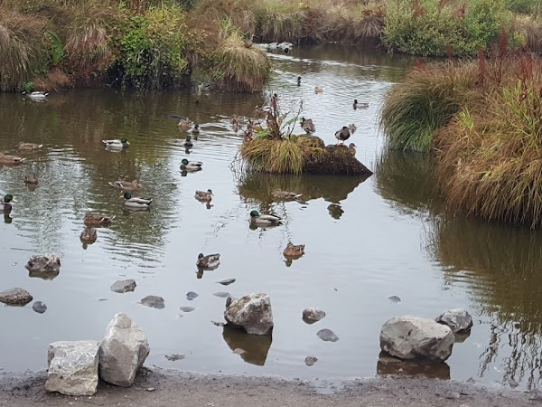 Newpark Marsh ParkNature reserve · 1682 yd
 Jurassic NewparkHeritage attraction · 1.0 mi
 Kilkenny AFC & Kilkenny & District Soccer LeagueMemorial · 1.1 mi
 Stephens Barracks MuseumMuseum · 1.1 mi
 KilkennyVisitor information · 1.1 mi
 CastleCastle, tower house · 1.2 mi
 Kilkenny County Council Car ParkVisitor information · 1.2 mi