What is recorded here
Fairy fort / earthen ringfort in Garranroe is a fairy fort or earthen ringfort in Garranroe, County Tipperary, Ireland. The site occupies a low hillock in undulating countryside, using the natural rise to create a raised platform. A circular area 41 metres wide from east to west is enclosed by an earth and stone bank 2 metres wide.
Situated on a low hillock in undulating coutryside. A circular area (diam. 41m E-W) enclosed by an earth and stone bank (Wth 2m; int. H 0.4m; ext. H 1.5-2m) with outer fosse (Wth 4.1m; D 0.2m) and causewayed entrance (Wth 6m) at E. The ringfort utilises a natural hillock to form a raised platform above the surrounding countryside.
The above description is derived from 'The Archaeological Inventory of County Tipperary. Vol. 1 - North Tipperary' compiled by Jean Farrelly and Caimin O'Brien (Dublin: Stationery Office, 2002). In certain instances the entries have been revised and updated in the light of recent research.
Date of upload/revision: 22 September 2008
The monument record does not grant public access. Check the route and ask the landowner before entering private land.
- What survives
- Recorded monument
Places near here
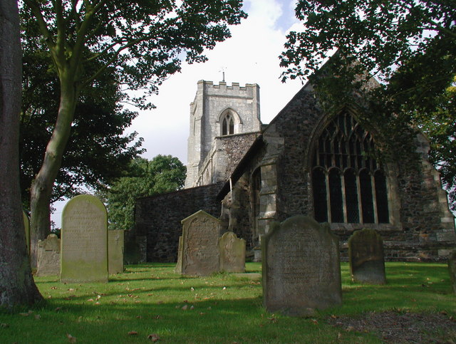 Rahelty Church (in Ruins), Grave YardChurch · 724 yd
 Rahelty CastleCastle · 793 yd
 Rahelty RathArchaeological place · 843 yd
 Enclosure in RathcriddogeEnclosure · 1474 yd
 Castle (in Ruins)Bawn · 1.4 mi
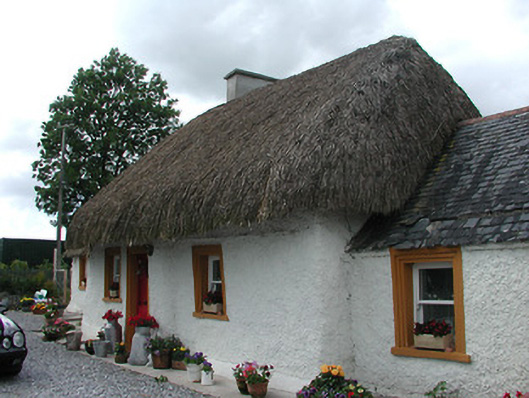 The Cottagehouse · 1.5 mi
 St. Mary's Famine and War MuseumMuseum · 3.2 mi
 Famine & War MuseumMuseum · 3.3 mi
 European ashEuropean ash · 3.6 mi
 Byrnes's WoodsForest · 3.8 mi
 Horse and JockeyVisitor information · 6.6 mi
 Killough Hill (site of)Mountain / peak · 7.8 mi