What is recorded here
Gallán was a single standing stone on a south-facing pasture slope in County Cork, visible on the 1940 map but absent from earlier surveys. It has since disappeared without trace, leaving behind only the memory of a marker that once pointed upward in open fields. Perhaps people passed it, tied rituals to it, or simply knew it as a fixed feature of the landscape. Its removal erases more than stone; it deletes the human habits that gave the stone meaning.
Not shown on 1842 and 1903 OS 6-inch maps. Marked as single standing stone on 1940 OS 6-inch map. In pasture, on S-facing slope. Removed; no visible surface trace.
The above description is derived from the published 'Archaeological Inventory of County Cork. Volume 3: Mid Cork' (Dublin: Stationery Office, 1997). In certain instances the entries have been revised and updated in the light of recent research.
Date of upload/revision: 14 January 2009
Likely dating to the Late Neolithic or Early Bronze Age, this standing stone may have had ritual or territorial significance. No specific folklore or use is recorded for the site.
The monument record does not grant public access. Check the route and ask the landowner before entering private land.
- What survives
- Recorded monument
Places near here
 Garranenagappul Bridgebridge · 1360 yd
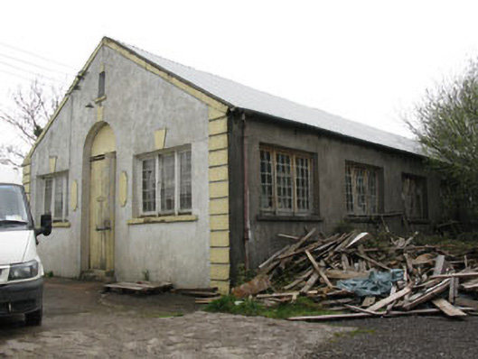 hallhall · 1378 yd
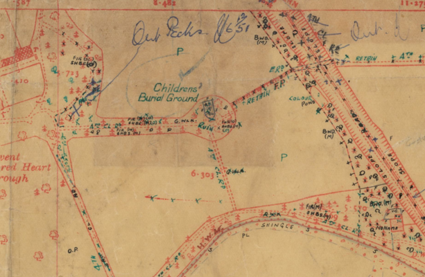 Childrens Burial Ground (Disused)Burial ground · 1688 yd
 Man-made underground passageMan-made underground passage · 1.0 mi
 Neill's WoodWood · 1.8 mi
 Carrigaphooca CastleCastle · 2.3 mi
 Curraheen WoodWood · 2.6 mi
 Clonavrick CliffCliff · 2.8 mi
 Macroom WalksVisitor information · 3.1 mi
 Dundareirke Castle (in Ruins)Castle, tower house · 3.2 mi
 Battle of Macroombattle · 3.4 mi
 Cnoc na nUlán (mullach thoir)Mountain / peak · 4.4 mi