What is recorded here
Hearth in Gardenrath is an oval fire pit dated to 2473-2301 cal. BC, buried beneath a level landscape in County Meath. It held burnt clay, charcoal and ash, with small pits nearby that may have marked a temporary camp or seasonal stop. No tools or pots survived, but the fire itself remained clear enough to date. Someone sat beside that flame thousands of years before roads crossed the field, warming hands or cooking food under an open sky.
Situated on a fairly level landscape. Archaeological testing (04E0916) by S. Delaney (2005) at Testing Area 11 of Contract 4 of the M3 motorway identified (excavations.ie 2004:1271) archaeological material that was fully excavated (E003146) in November 2006 by D. Bayley (2010) as Gardenrath 1 when an area of 1600 square metres was opened and a prehistoric hearth and associated features were recorded (excavations.ie 2007:1315).
The oval hearth (dims 0.8m x 0.65m; D 0.2m) had a base of oxidized clay beneath a dark brown silty clay with burnt clay and charcoal. A fragment of oak charcoal from the upper fill provided a C14 date of 2473-2301 cal. BC (UBA 12935). A thin spread (dims 0.7m x 0.18m; T 0.1m) with ash and charcoal extending NE is probably rake-out from the hearth. A small pit (diam. 0.25m D 0.12m) was immediately to the SW, and three pits (diam. 0.15m; D 0.08m to 1.2m x 0.6m; D 0.25m) NE of the hearth had single fills of brown sandy silts with stones and charcoal, and they were probably back-filled together. A small layer of grey silty sand and charcoal, two small pits or postholes together with a group of three stakeholes and a pit are within 10-20m of the hearth and are probably contemporary with it but no artefacts were recovered anywhere. (Bayley 2010, 5-7)
Compiled by: Michael Moore
Date of upload: 11 March 2022
The monument record does not grant public access. Check the route and ask the landowner before entering private land.
- What survives
- Recorded monument
Places near here
 Long WoodWood · 946 yd
 Enclosure in Kilmainham (kells Upper By., Teltown Par.)Enclosure · 1005 yd
 Furzy WoodWood · 1074 yd
 Enclosure in Headfort DemesneEnclosure · 1202 yd
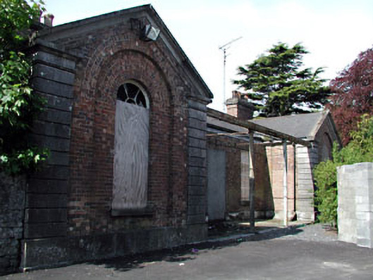 Kells Railway Stationrailway station · 1456 yd
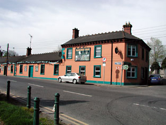 Railway Househotel · 1469 yd
 Saint John's CemeteryMemorial · 1689 yd
 The Parnell GardenMemorial · 1732 yd
 CastleCastle, unclassified · 1.1 mi
 Castle ruinsCastle · 1.2 mi
 BallybegMountain / peak · 2.1 mi
 BalreaskMountain / peak · 2.9 mi