What is recorded here
Half a kilometre of unbroken grassland rolls past the subcircular rath in Garbally Demesne, where a forty-nine-metre bank still holds its shape against the sky. The earth rises from the south-east through the south to the north-west, then drops into a scarp, leaving a four-metre gap at the east that may be the original entrance rather than a ruin. A second ringfort waits thirty metres to the south-east, as if two households had argued about the best view and both refused to leave. People may have lived here, loved here, and vanished so completely that only the grass remembers the shape of their doors.
On a hill in undulating grassland. Subcircular rath (N-S 49m, E-W 41m), in fair condition, defined by a bank from SSE through S to NW, and elsewhere by a scarp. Gap (Wth 4m) at E could be original. A ringfort (GA087-071001-) lies c. 30m to SE.
The above description is derived from the published 'Archaeological Inventory of County Galway Vol. II - North Galway'. Compiled by Olive Alcock, Kathy de hÓra and Paul Gosling (Dublin: Stationery Office, 1999).
Date of upload: 05 August 2010
The monument record does not grant public access. Check the route and ask the landowner before entering private land.
- What survives
- Recorded monument
Places near here
 Enclosure in Garbally Demesne,loughbownEnclosure · 481 yd
 West WoodWood · 719 yd
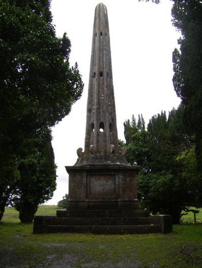 Garballyobelisk · 835 yd
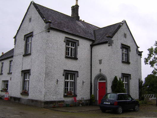 Brackernagh Lodgehouse · 1424 yd
 St. Grellans WellHoly well · 1686 yd
 Urraghry HillMountain / peak · 1.5 mi
 Bawn in Townparks (moycarn By. - Ballinasloe)Bawn · 2.0 mi
 Castle (Site of)Castle, Anglo-Norman masonry castle · 2.5 mi
 The bloody HollowHeritage attraction · 2.5 mi
 Battle of Aughrim Interpretative CentreMuseum · 2.7 mi
 Battle of AughrimMajor battlefield · 2.7 mi
 Ardcarn IslandsIslet · 3.0 mi