What is recorded here
Galloon Burial Ground is an unmarked oval trench in County Cavan, Ireland, tied to the nearby Battle of Bloody Pass. Local names translate the place as the Forked Inlet of Sorrow or the Holly Bush, suggesting grief and refuge rather than ordinary farm loss. The earth keeps no visible monument, but the trench and hidden stones still outline a chamber where human pain was deposited and forgotten.
Not marked on the 1st ed. OS 6-inch map (surveyed 1836) it is named on subsequent editions and revisions. On inspection in 1989 it was found to consist of an oval area (int. dims. 18m NW-SE; 8.4m NE-SW) enclosed by a narrow, shallow trench from SE-S-NW and elsewhere by a hedge. Apart from a number of small low stones protruding above the surface of the site, there were no visible remains. Variously known locally as 'Callaghan's Burial Ground' (SMR file) or as Gulldoon or Gullion Burial Ground (Gabhl Liuin - The Forked Inlet of Sorrow) or (Cuilleann - The Holly Bush) (http://www.drumlane.ie/index.php?page=the-bloody-pass) and is believed to have had a connection with the site of the Battle of Bloody Pass, c. 70m to NW (CV011-027----). Davies (1948, 94) suggested that it may have been an early ecclesiastical site, the name of which has been forgotten. (O'Donovan 1995, no. 1732)
Revised by: Paul Walsh
Date of upload: 15 February 2018
The monument record does not grant public access. Check the route and ask the landowner before entering private land.
- What survives
- Recorded monument
Places near here
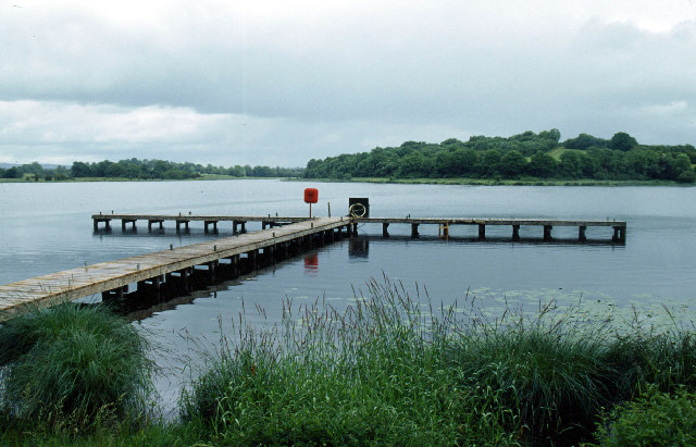 Galloon IslandIsland · 429 yd
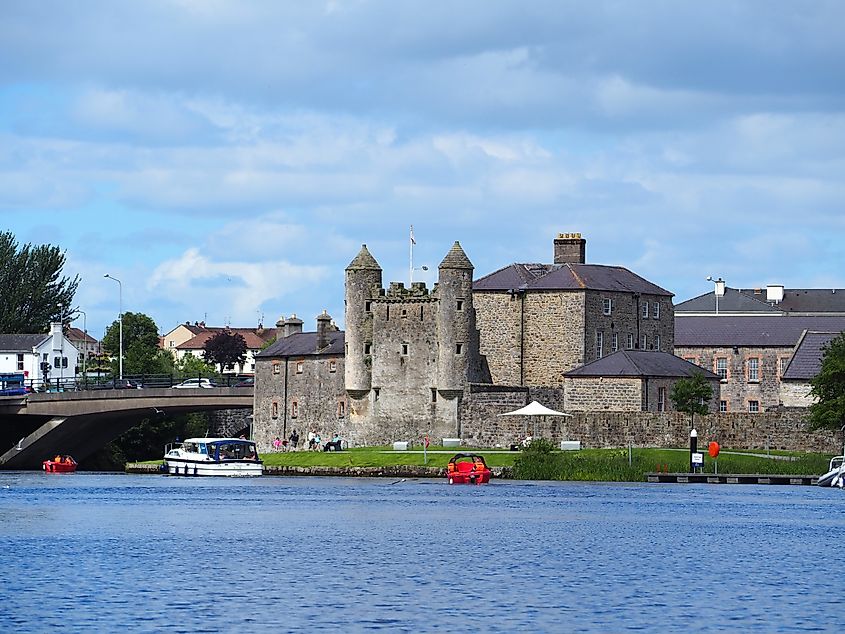 Small IslandIslet · 448 yd
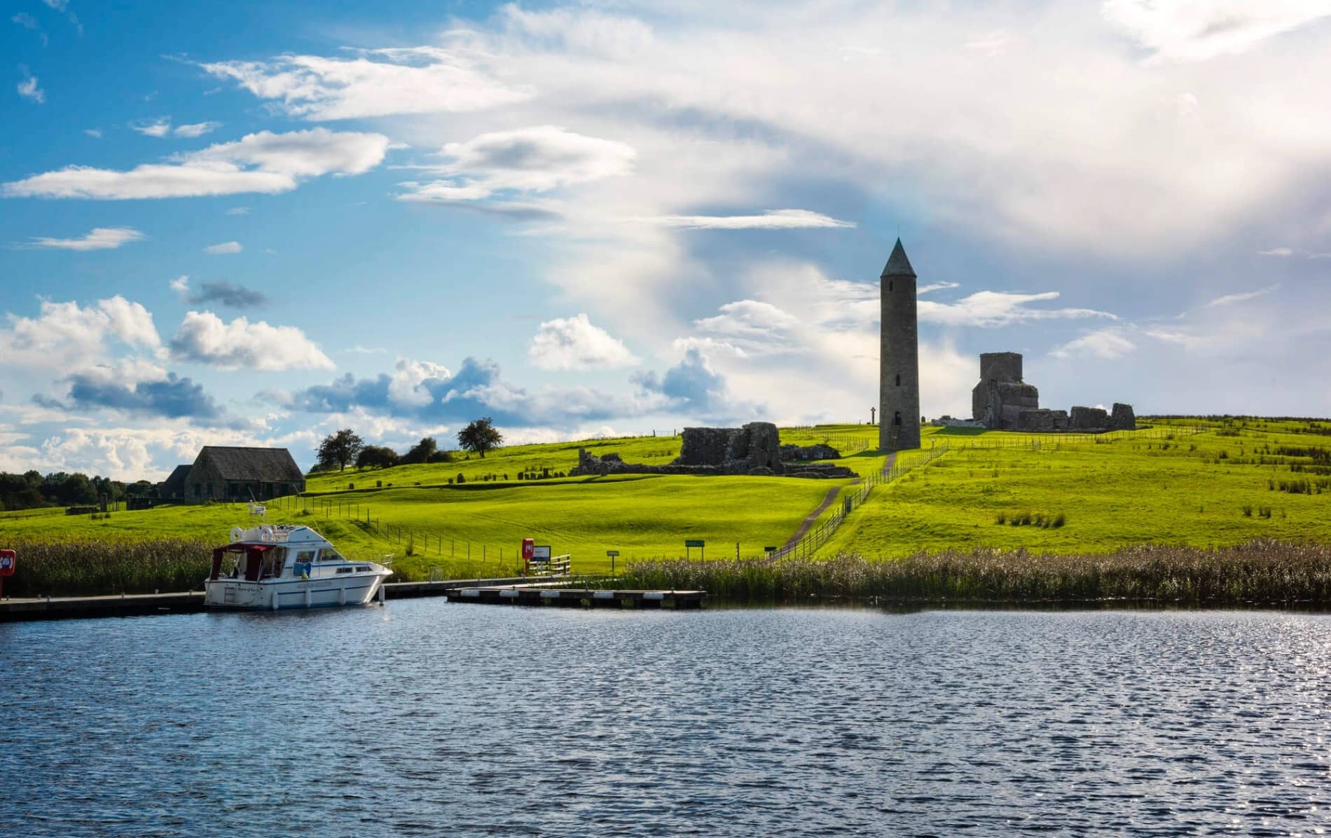 Inishfendra WoodWood · 1342 yd
 Derrysteaton ForestWood · 1521 yd
 Crom Visitors CentreMuseum · 1656 yd
 InishfendraMountain / peak · 1.0 mi
 Crom Estate (National Trust)Heritage attraction · 1.2 mi
 CASTLE (unlocated) in DoohatCASTLE (unlocated) · 1.3 mi
 Estate Trail, CromWalking route · 1.3 mi
 Old Crom Castle (Ruins)Castle · 1.3 mi
 Boat HouseBoat House · 1.6 mi
 Bridge CottageHouse · 1.7 mi