What is recorded here
On top of a platform on N side of valley on Mealagh river. Row of four stones, aligned NE-SW, and 4.8m in overall length. NE stone is 0.6m L, 0.5m T and 0.75m H. Next stone, 0.9m to SW is 0.9m L, 0.5m T and 1.35. H. Third stone, 0.25m further to SW, is 0.7m L, 0.4m T and 0.7m H. SW stone, 0.35m from the last, is 0.85m L, 0.6m T and 2.3m H. (O Nualláin 1988, 235, no. 40)
Myler (1998, 58) mentions 'a stone with small spiral markings located in the NE corner of the field but this stone has been removed, probably through field clearance'.
The above description is derived from the published 'Archaeological Inventory of County Cork. Volume 1: West Cork' (Dublin: Stationery Office, 1992). In certain instances the entries have been revised and updated in the light of recent research.
Date of upload/revision: 24 January 2013
This remains an important historical record, but the official description says the monument is no longer visible or has been destroyed. The monument record does not grant public access. Check the route and ask the landowner before entering private land.
- What survives
- No visible remains or recorded as destroyed
Places near here
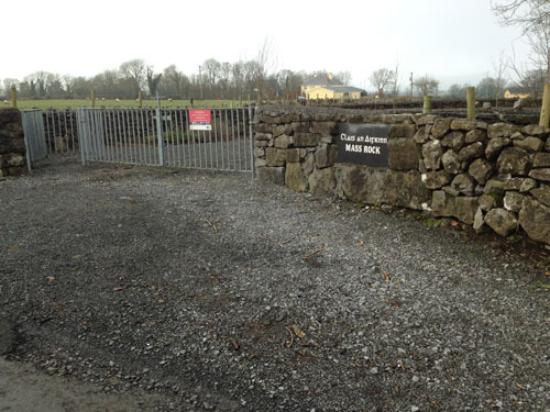 Mass-rock in Ardrah (bantry By.)Mass-rock · 671 yd
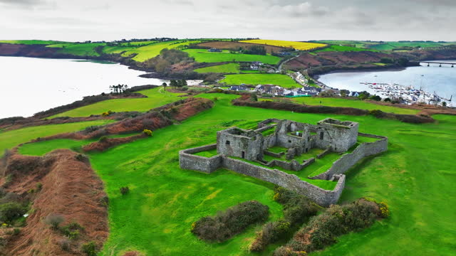 Enclosure in Ardrah (bantry By.)Enclosure · 1135 yd
 Kealkill stone circleVisitor information · 1.3 mi
 Carding MillMill, carding · 1.3 mi
 MillMill, fulling · 1.3 mi
 St Finbarr's Pilgrim RouteWalking route · 1.6 mi
 Carriganass CastleCastle · 1.9 mi
 Mullach MéiseMountain / peak · 2.3 mi
 KnockbreteenMountain / peak · 2.6 mi
 Castle Donovan (in Ruins)Castle, tower house · 4.0 mi
 Francis O'Neill PlaqueMemorial · 4.2 mi
 Daly's LoopWalking route · 4.4 mi