What is recorded here
Gallán was a five-foot standing stone in Cork pasture, lost when men buried it in a quarry around 1985. It stood near another stone, perhaps part of a row, until forgetting turned marble to rubble. The quarry keeps what the field released, waiting for someone to dig out the shape of remembered time.
Not marked on 1842 OS 6-inch map. Marked on 1938 OS 6-inch map c. 45m to NE of standing stone (10065). In level pasture. According to local information, removed c. 1985 and buried in nearby quarry (CO029-208----). Recorded by Grove White (1905-25, vol. 3, 89; photograph opp. 90) as 'about 5ft 6ins in height by 3ft 2ins.' Possibly stone (b) in 'stone row' recorded by Bowman (1934, 265) in this townland (see 10065).
The above description is derived from the published 'Archaeological Inventory of County Cork. Volume 4: North Cork' (Dublin: Stationery Office, 2000). In certain instances the entries have been revised and updated in the light of recent research.
Date of revision: 15 December 2009
The monument record does not grant public access. Check the route and ask the landowner before entering private land.
- What survives
- Recorded monument
Places near here
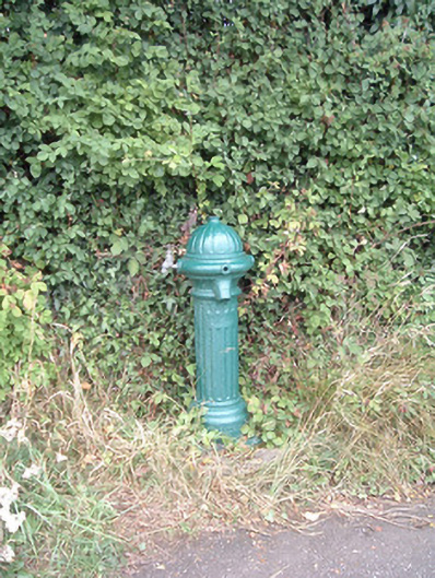 water pumpwater pump · 885 yd
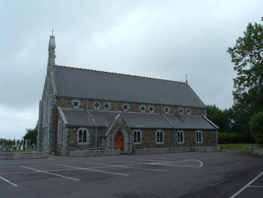 Church of the Immaculate Conceptionchurch/chapel · 1131 yd
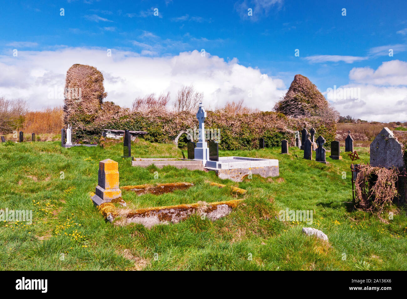 Ritual siteRitual site, holy/saint's stone · 1623 yd
 Fulacht fia in EuglauneFulacht fia · 1662 yd
 Nohaval WoodWood · 3.7 mi
 Dromsicane Castle (in Ruins)Bawn · 4.1 mi
 Castle and TurretCastle, tower house · 4.9 mi
 Millstreet Museum & Tourist Information CentreMuseum · 5.3 mi
 Claragh Loop (Trailhead 99)Visitor information · 5.4 mi
 Millstreet Tourist InformationVisitor information · 5.4 mi
 Claragh MountainMountain / peak · 5.6 mi
 RowanRowan · 6.1 mi