What is recorded here
Galláin is a one-metre standing stone at the top of a Cork ridge, facing north and south with a clear view in three directions. It stands thirty-five metres from a second stone across a field boundary, as if marking a threshold between two worlds or two households. The shape is simple, but the position is not: someone chose the highest point, aligned the stone to the sky, and left it there to be seen from a distance.
At top of ridge with commanding view to N, S and W. More southerly of two stones (CO070-065002-) shown on OS 6-inch map c. 35m apart, in adjacent fields. Stone (H 1m; 1.05m x 0.8m) is subrectangular in plan, long axis N-S.
The above description is derived from the published 'Archaeological Inventory of County Cork. Volume 3: Mid Cork' (Dublin: Stationery Office, 1997). In certain instances the entries have been revised and updated in the light of recent research.
Date of upload/revision: 14 January 2009
Likely dating to the Neolithic or Bronze Age, the stone may have served as a boundary marker, ritual monument, or astronomical alignment feature. No specific folklore or detailed local tradition is recorded for this site.
The monument record does not grant public access. Check the route and ask the landowner before entering private land.
- What survives
- Recorded monument
Places near here
 Toberlaghteen (covered)Holy well · 528 yd
 IndicatedHouse, indeterminate date · 563 yd
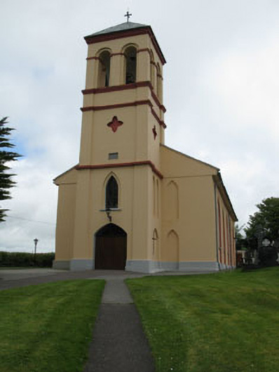 Séipéal Naomh Lachtáin [Saint Lachtáin's Catholic Church]church/chapel · 566 yd
 Burial ground in Baile An BhuaidhBurial ground · 843 yd
 Port Ban Nature Reserve, Irish Wildlife TrustNature reserve · 2.1 mi
 Carrigaphooca CastleCastle · 2.2 mi
 Dundareirke Castle (in Ruins)Castle, tower house · 2.5 mi
 Curraheen WoodWood · 2.7 mi
 European long distance path E8 - part IrelandWalking route · 4.1 mi
 Macroom WalksVisitor information · 4.8 mi
 Cnoc na nUlán (mullach thoir)Mountain / peak · 5.0 mi
 KnockullaneMountain / peak · 5.3 mi