What is recorded here
In marshy ground. Shown on 1938 OS 6-inch map as small mound. Area heavily overgrown and inaccessible. One of a group of four fulachta fiadh (CO071-111001-; CO071-111002-; CO071-111004-).
The above description is derived from the published 'Archaeological Inventory of County Cork. Volume 3: Mid Cork' (Dublin: Stationery Office, 1997). In certain instances the entries have been revised and updated in the light of recent research.
Date of upload/revision: 14 January 2009
The monument record does not grant public access. Check the route and ask the landowner before entering private land.
- What survives
- Recorded monument
Places near here
 St Bartholomews WellHoly well · 193 yd
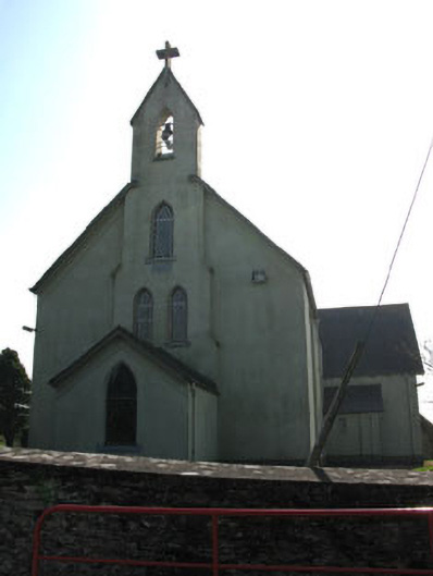 St John the Baptist Roman Catholic Churchchurch/chapel · 381 yd
 Fulachta FiadhFulacht fia · 435 yd
 Carrigadrohid Hydro Electric Power Stationdam/reservoir/basin · 1067 yd
 Carrigadrohid Castle (in Ruins)Castle, tower house · 1581 yd
 Carrigadrohid CastleHeritage attraction · 1587 yd
 Carrigadrohid Castle InfoVisitor information · 1675 yd
 Steven's WoodWood · 1.0 mi
 Leap WoodWood · 1.5 mi
 Mashanaglass Castle (in Ruins)Castle, tower house · 2.3 mi
 Priest MemorialMemorial · 3.2 mi
 Independence MuseumMuseum · 3.3 mi